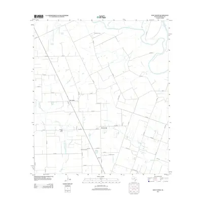
2013 Map of New Taiton
USGS Topo · Published 2013About this map
New Taiton and Jones Creek anchor this agricultural and industrial landscape in Wharton County during the early 2010s. The region is defined by a dense network of county roads and drainage patterns, including Mott Slough and Robb Slough, which feed toward the Colorado River at the northeastern corner of the map. This era shows a clear intersection of aviation and energy production, with the New Taiton Oil Field and Lakeview Oil Field operating alongside local runways like Rodgers Roost Airport and El Campo Airpark. Water management remains central to the area's geography, evidenced by the numerous creek systems such as W Mustang Cr and E Fork Jones Cr that crisscross the flat terrain between rural farmsteads and oil extraction sites.
Find a feature on this map
52 named features on this map. Tap any name to fly to it.
Don’t see what you’re looking for? This feature index may not catch every label — zoom into the map to look around manually.
Map Details
Editions of this 2013 New Taiton Map
This is the sole edition of this map. No revisions or reprints were ever made.
Other maps of this area

1952 · Pierce
USGS Topo · 1:24,000

1952 · Egypt
USGS Topo · 1:24,000

1953 · Glen Flora
USGS Topo · 1:24,000

1953 · Seguin
USGS Topo · 1:250,000

1958 · Seguin
USGS Topo · 1:250,000

1959 · Garwood
USGS Topo · 1:24,000

1959 · Bonus
USGS Topo · 1:24,000

1960 · New Taiton
USGS Topo · 1:24,000

1965 · El Campo
USGS Topo · 1:24,000

1965 · Gobbler Creek
USGS Topo · 1:24,000