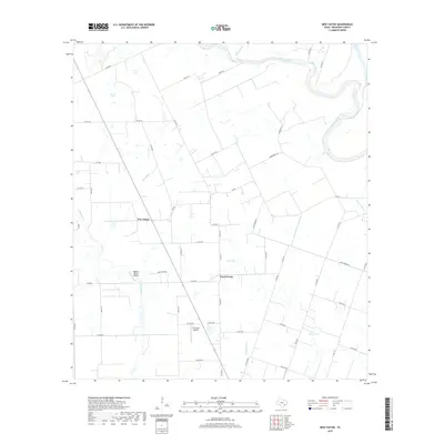
2019 Map of New Taiton
USGS Topo · Published 2019About this map
New Taiton and the surrounding Wharton County countryside are defined by the winding course of the Colorado River, which forms the northeastern boundary of this survey. The landscape is a complex network of drainage and irrigation, characterized by slow-moving water features like Robb Slough and Mott Slough. This region's agricultural and rural character is evidenced by the extensive grid of county roads and the presence of several small aviation hubs, including Rodgers Roost Airport and El Campo Airpark.
Find a feature on this map
50 named features on this map. Tap any name to fly to it.
Don’t see what you’re looking for? This feature index may not catch every label — zoom into the map to look around manually.
Map Details
Editions of this 2019 New Taiton Map
This is the sole edition of this map. No revisions or reprints were ever made.
Other maps of this area

1952 · Pierce
USGS Topo · 1:24,000

1952 · Egypt
USGS Topo · 1:24,000

1953 · Glen Flora
USGS Topo · 1:24,000

1953 · Seguin
USGS Topo · 1:250,000

1958 · Seguin
USGS Topo · 1:250,000

1959 · Garwood
USGS Topo · 1:24,000

1959 · Bonus
USGS Topo · 1:24,000

1960 · New Taiton
USGS Topo · 1:24,000

1965 · El Campo
USGS Topo · 1:24,000

1965 · Gobbler Creek
USGS Topo · 1:24,000