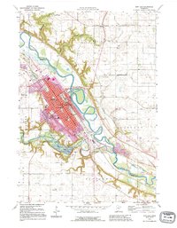
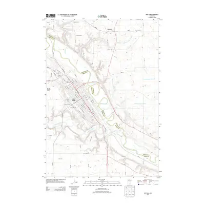
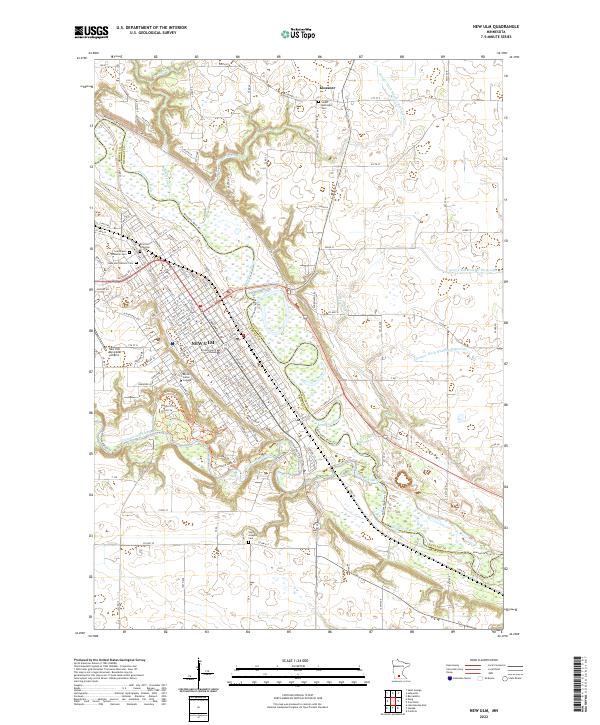
1992 Map of New Ulm
USGS Topo · Published 1995About this map
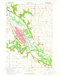
New Ulm sits at the confluence of the Minnesota River and the Cottonwood River, serving as a cultural and educational hub in the early 1990s. The city's prominent German heritage is anchored by the Hermann Monument, while institutions like Martin Luther College, Cathedral High Sch, and St Marys Sch define the local skyline. The 1992 revisions show significant urban density along Broadway and Washington St, contrasted by the extensive recreation grounds of Flandrau State Park and Cottonwood Lake to the south.
Find a feature on this map
50 named features on this map. Tap any name to fly to it.
Don’t see what you’re looking for? This feature index may not catch every label — zoom into the map to look around manually.
Map Details
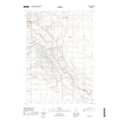
Editions of this 1992 New Ulm Map
This is the sole edition of this map. No revisions or reprints were ever made.
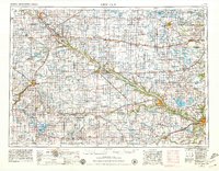
Historical Maps of New Ulm Through Time
13 maps found
1953 New Ulm
Brown County, MN

1957 New Ulm
Brown County, MN

1958 New Ulm
Brown County, MN
1964 New Ulm
Brown County, MN

1967 New Ulm
Brown County, MN

1986 New Ulm
Brown County, MN

1991 New Ulm
Brown County, MN
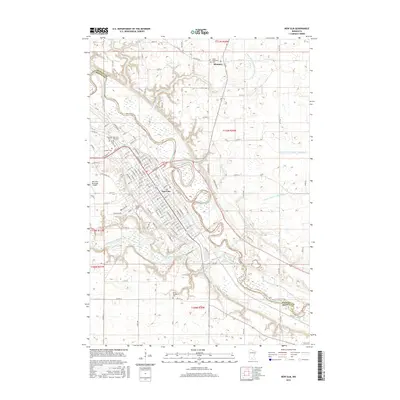
1992 New Ulm
Brown County, MN
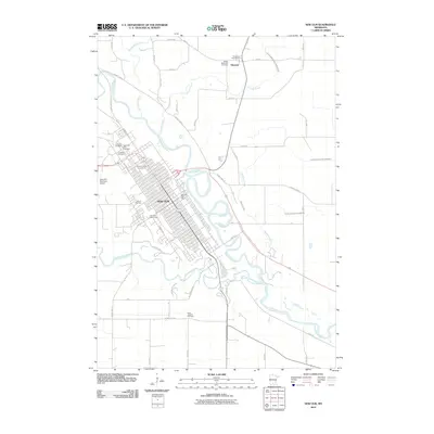
2010 New Ulm
Brown County, MN
2013 New Ulm
Brown County, MN
2016 New Ulm
Brown County, MN
2019 New Ulm
Brown County, MN
2022 New Ulm
Brown County, MN