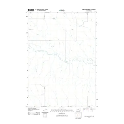
2012 Map of New Underwood NW
USGS Topo · Published 2012About this map
Elk Cr winds extensively across this portion of Pennington County, defining the drainage patterns of the high plains landscape. The creek's meandering path is the primary natural landmark in a territory largely organized by a strict sectional road grid, including Elk Creek Rd and Bend Rd. This 2012 survey captures the area’s rural character, where large parcels of land are bounded by north-south avenues like 155th Ave and 157th Ave. To the west, Antelope Cr feeds into the larger waterway, illustrating the subtle topographical variations of the South Dakota prairie. The map provides a clear look at the intersection of natural watercourses and the human-imposed geometry of the township and range system, showing how access roads like Pioneer Rd and Kipper Pl follow these ancient natural and modern legal lines.
Find a feature on this map
17 named features on this map. Tap any name to fly to it.
Don’t see what you’re looking for? This feature index may not catch every label — zoom into the map to look around manually.
Map Details
Editions of this 2012 New Underwood NW Map
This is the sole edition of this map. No revisions or reprints were ever made.
Other maps of this area

1893 · Rapid
USGS Topo · 1:125,000

1898 · Rapid
USGS Topo · 1:125,000

1903 · Rapid
USGS Topo · 1:125,000

1953 · Bend
USGS Topo · 1:24,000

1953 · Viewfield
USGS Topo · 1:24,000

1953 · Hereford SE
USGS Topo · 1:24,000

1953 · Boxelder
USGS Topo · 1:24,000

1953 · New Underwood
USGS Topo · 1:24,000

1953 · New Underwood SW
USGS Topo · 1:24,000

1953 · Hereford SW
USGS Topo · 1:24,000