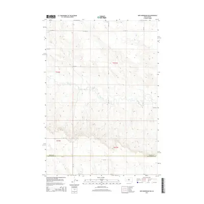
2015 Map of New Underwood NW
USGS Topo · Published 2015About this map
Elk Creek meanders through the central landscape of this West River South Dakota survey, marking the boundary between townships in Pennington and Meade counties. The terrain is characterized by the winding drainage of Antelope Cr and the network of section-line roads that define the rural character of the region. This 2015 study by the U.S. Geological Survey shows a landscape defined by ranching and agriculture, with major routes like Elk Creek Rd and Bend Rd providing access across the high plains. The map records the precise intersection of administrative boundaries including t3n r10e and t2n r9e, reflecting the structured Public Land Survey System that organized the settlement of the Dakota Territory.
Find a feature on this map
18 named features on this map. Tap any name to fly to it.
Don’t see what you’re looking for? This feature index may not catch every label — zoom into the map to look around manually.
Map Details
Editions of this 2015 New Underwood NW Map
This is the sole edition of this map. No revisions or reprints were ever made.
Other maps of this area

1893 · Rapid
USGS Topo · 1:125,000

1898 · Rapid
USGS Topo · 1:125,000

1903 · Rapid
USGS Topo · 1:125,000

1953 · Bend
USGS Topo · 1:24,000

1953 · Viewfield
USGS Topo · 1:24,000

1953 · Hereford SE
USGS Topo · 1:24,000

1953 · Boxelder
USGS Topo · 1:24,000

1953 · New Underwood
USGS Topo · 1:24,000

1953 · New Underwood SW
USGS Topo · 1:24,000

1953 · Hereford SW
USGS Topo · 1:24,000