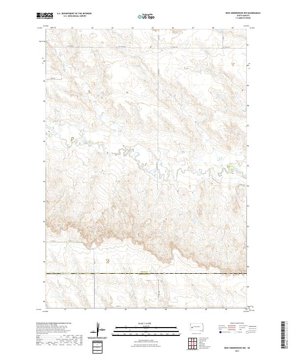
2021 Map of New Underwood NW
USGS Topo · Published 2021About this map
Elk Creek meanders through the heart of this landscape, carving a complex drainage system across the boundary of Meade Co and Pennington Co. This portion of South Dakota is defined by its wide section-line road network, where routes like Elk Creek Rd and Bend Rd follow the rigid geometry of the Public Land Survey System. The terrain is characterized by the winding path of Antelope Cr as it feeds into the larger valley, set against a backdrop of varied elevations that transition between township ranges t3n r9e and t3n r10e. Modern infrastructure is sparse, limited primarily to rural access points such as Pioneer Rd and Brehm Rd, reflecting a region dedicated to ranching or open land use in the early twenty-first century.
Find a feature on this map
20 named features on this map. Tap any name to fly to it.
Don’t see what you’re looking for? This feature index may not catch every label — zoom into the map to look around manually.
Map Details
Editions of this 2021 New Underwood NW Map
This is the sole edition of this map. No revisions or reprints were ever made.
Other maps of this area

1893 · Rapid
USGS Topo · 1:125,000

1898 · Rapid
USGS Topo · 1:125,000

1903 · Rapid
USGS Topo · 1:125,000

1953 · Bend
USGS Topo · 1:24,000

1953 · Viewfield
USGS Topo · 1:24,000

1953 · Hereford SE
USGS Topo · 1:24,000

1953 · Boxelder
USGS Topo · 1:24,000

1953 · New Underwood
USGS Topo · 1:24,000

1953 · New Underwood SW
USGS Topo · 1:24,000

1953 · Hereford SW
USGS Topo · 1:24,000