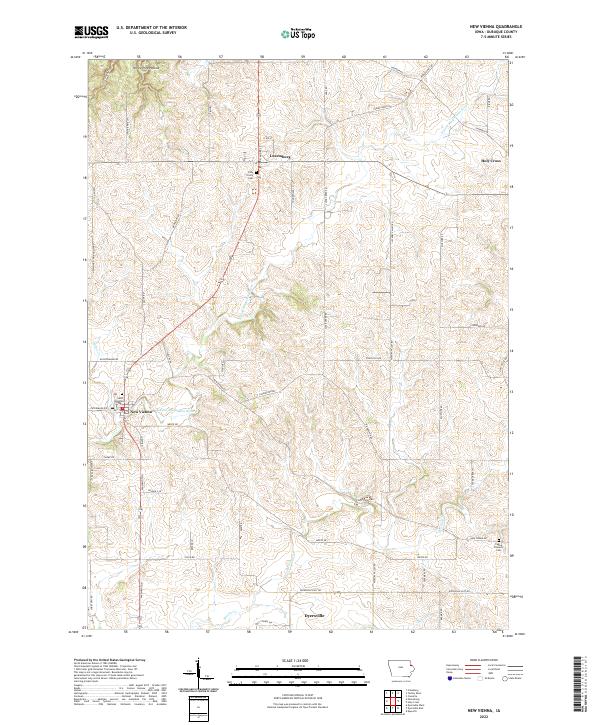
2022 Map of New Vienna
USGS Topo · Published 2022About this map
New Vienna serves as a central hub in this corner of Dubuque County, where the N Fork Maquoketa River winds through the rolling agricultural landscape. The map highlights the enduring presence of local parishes, notably Saint Boniface in New Vienna and Holy Trinity in Luxemburg, reflecting the area's deep-rooted Catholic heritage. The terrain is defined by its drainage patterns, with Hickory Cr and Hewitt Cr carving through the till plains, while the northern edge is marked by the distinctive topography of White Pine Hollow.
Find a feature on this map
57 named features on this map. Tap any name to fly to it.
Don’t see what you’re looking for? This feature index may not catch every label — zoom into the map to look around manually.
Map Details
Editions of this 2022 New Vienna Map
This is the sole edition of this map. No revisions or reprints were ever made.
Other maps of this area

1900 · Anamosa
USGS Topo · 1:125,000

1900 · Lancaster
USGS Topo · 1:125,000

1901 · Peosta
USGS Topo · 1:125,000

1902 · Elkader
USGS Topo · 1:125,000

1904 · Lancaster
USGS Topo · 1:125,000

1908 · Lancaster
USGS Topo · 1:125,000

1955 · Cassville
USGS Topo · 1:24,000

1957 · Turkey River
USGS Topo · 1:24,000

1957 · Colesburg
USGS Topo · 1:24,000

1957 · Holy Cross
USGS Topo · 1:24,000