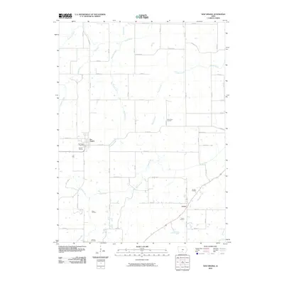
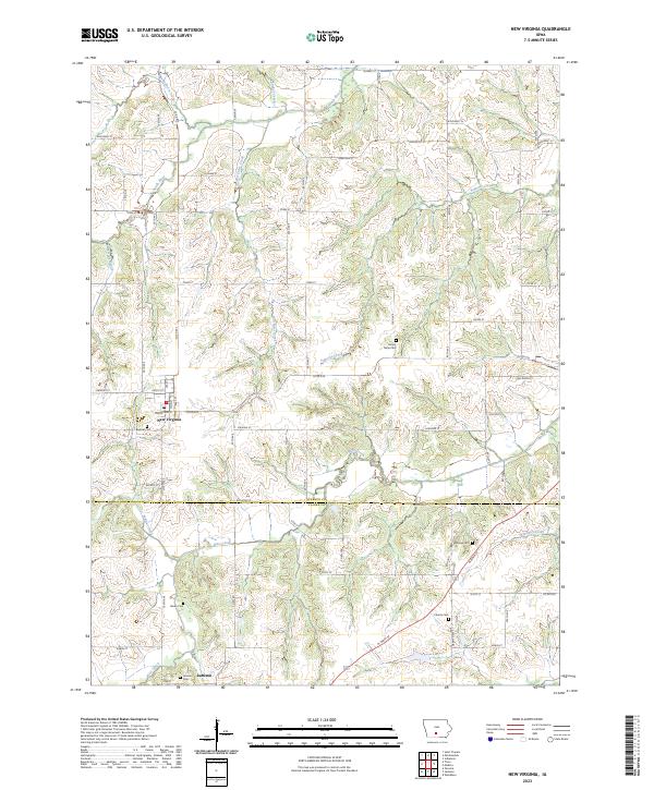
1983 Map of New Virginia
USGS Topo · Published 1983About this map
New Virginia sits at the intersection of rural townships in south-central Iowa, serving as a hub for the surrounding agricultural landscape in the early 1980s. The town's layout includes the Interstate 35 Sch and Sewage Disposal Ponds, while the vanished paths of transport are marked by an Old RR Grade cutting through the western sections. The terrain is deeply dissected by a dense network of waterways, including Broadhorn Creek, South River, and Squaw Creek, which dictate the placement of local roads and property boundaries. Genealogists and local historians will find several well-defined burial grounds scattered across the countryside, such as Mt Tabor Cem and Rhodes Cem near Liberty. This survey captures the transition of the region as it maintained its small-town identity while situated near major interstate infrastructure just beyond the map's western edge.
Find a feature on this map
24 named features on this map. Tap any name to fly to it.
Don’t see what you’re looking for? This feature index may not catch every label — zoom into the map to look around manually.
Map Details
Editions of this 1983 New Virginia Map
This is the sole edition of this map. No revisions or reprints were ever made.
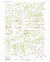
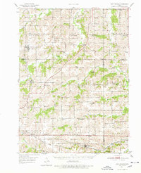
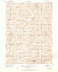
Historical Maps of New Virginia Through Time
8 maps found
Featured Locations
- Liberty, IA
- Squaw Township, IA
- Virginia Township, IA
- White Oak Township, IA
- New Virginia, Virginia Township