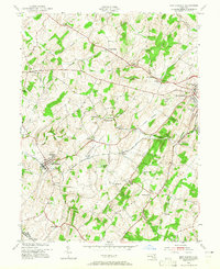
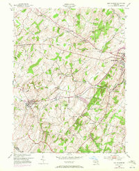
1953 Map of New Windsor
USGS Topo · Published 1965About this map
Western Maryland railroad tracks cut a diagonal path across this Carroll County landscape, connecting the regional hub of Westminster with the college town of New Windsor. The mid-century era finds this area deeply rooted in its agricultural and educational foundations, anchored by New Windsor College and Western Maryland College. The terrain is defined by the prominent ridge lines of Parrs Ridge and Clear Ridge, which overlook the fertile Wakefield Valley.
Find a feature on this map
46 named features on this map. Tap any name to fly to it.
Don’t see what you’re looking for? This feature index may not catch every label — zoom into the map to look around manually.
Map Details
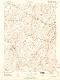
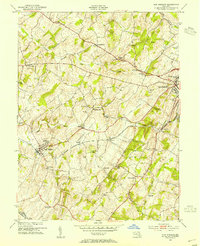
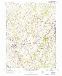
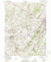
Editions of this 1953 New Windsor Map
6 editions found
Other maps of this area

1892 · Ellicott
USGS Topo · 1:62,500

1893 · Frederick
USGS Topo · 1:125,000

1894 · Ellicott
USGS Topo · 1:62,500

1894 · Frederick
USGS Topo · 1:125,000

1905 · Westminster
USGS Topo · 1:62,500

1906 · Ellicott
USGS Topo · 1:62,500

1908 · Patapsco
USGS Topo · 1:125,000

1909 · Mount Airy
USGS Topo · 1:62,500

1911 · Taneytown
USGS Topo · 1:62,500

1942 · Gettysburg
USGS Topo · 1:125,000