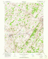
1953 Map of New Windsor
USGS Topo · Published 1972About this map
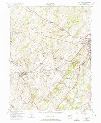
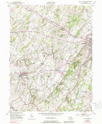
Westminster and the town of New Windsor anchor this survey of central Maryland, where the rural character of the mid-20th century is clearly visible through a dense network of mills and country churches. The industrial and agricultural heritage of the region is traced through features like Wakefield Mill, Roop Mill, and Baile Mill, all positioned along the winding corridors of Big Pipe Creek and Little Pipe Creek. The Western Maryland railroad provides the primary transport artery, connecting these milling centers with the larger population hubs.
Find a feature on this map
44 named features on this map. Tap any name to fly to it.
Don’t see what you’re looking for? This feature index may not catch every label — zoom into the map to look around manually.
Map Details
Editions of this 1953 New Windsor Map
6 editions found
Other maps of this area

1892 · Ellicott
USGS Topo · 1:62,500

1893 · Frederick
USGS Topo · 1:125,000

1894 · Ellicott
USGS Topo · 1:62,500

1894 · Frederick
USGS Topo · 1:125,000

1905 · Westminster
USGS Topo · 1:62,500

1906 · Ellicott
USGS Topo · 1:62,500

1908 · Patapsco
USGS Topo · 1:125,000

1909 · Mount Airy
USGS Topo · 1:62,500

1911 · Taneytown
USGS Topo · 1:62,500

1942 · Gettysburg
USGS Topo · 1:125,000