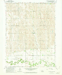
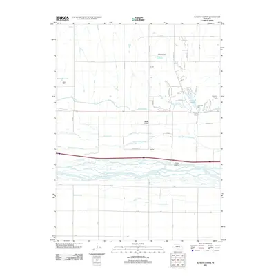
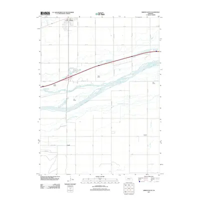
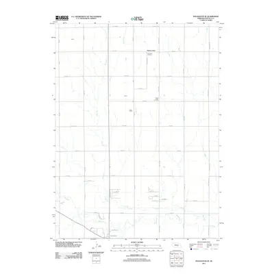
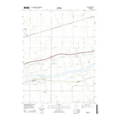
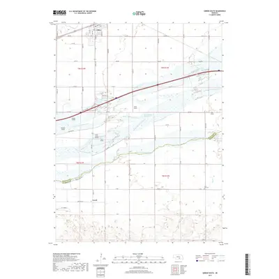
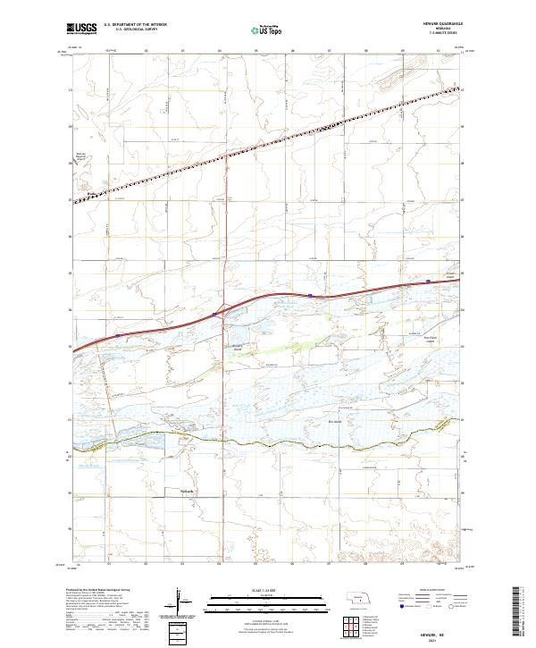
1962 Map of Newark
USGS Topo · Published 1993About this map
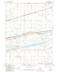
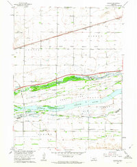
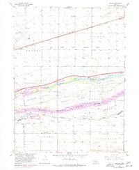
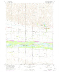
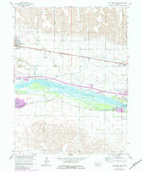
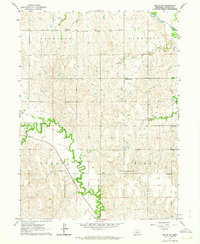
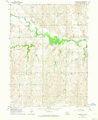
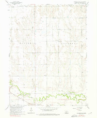
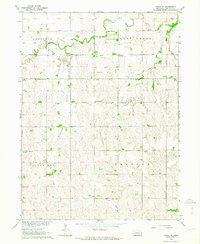
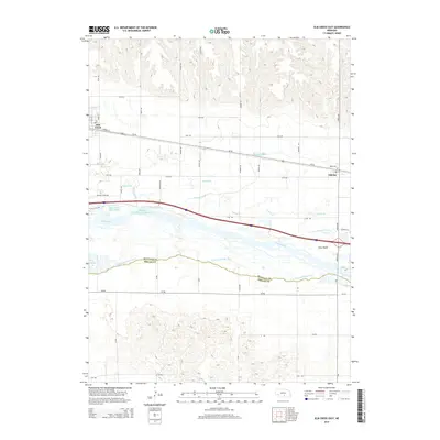
The Old Fort Kearney Military Reservation Boundary anchors the center of this Nebraska landscape, tracing the historical footprint of a vital frontier post. The braided waters of the Platte River dominate the midsection of the map, split into the North Channel, Middle Channel, and South Channel. This complex river system surrounds significant landforms like Killgore Island and Elm Island, where intricate sloughs such as Whisky Slough and drainage networks like Crooked Creek define the low-lying terrain.
Find a feature on this map
23 named features on this map. Tap any name to fly to it.
Don’t see what you’re looking for? This feature index may not catch every label — zoom into the map to look around manually.
Map Details
Editions of this 1962 Newark Map
3 editions found
Historical Maps of Newark Through Time
50 maps found
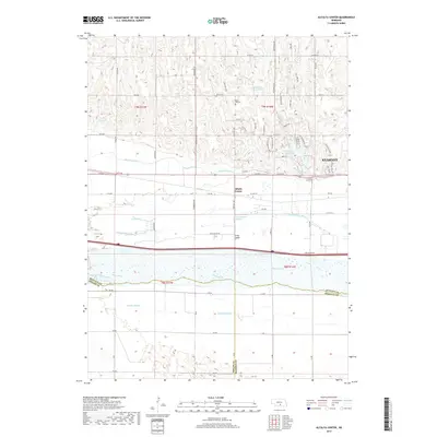
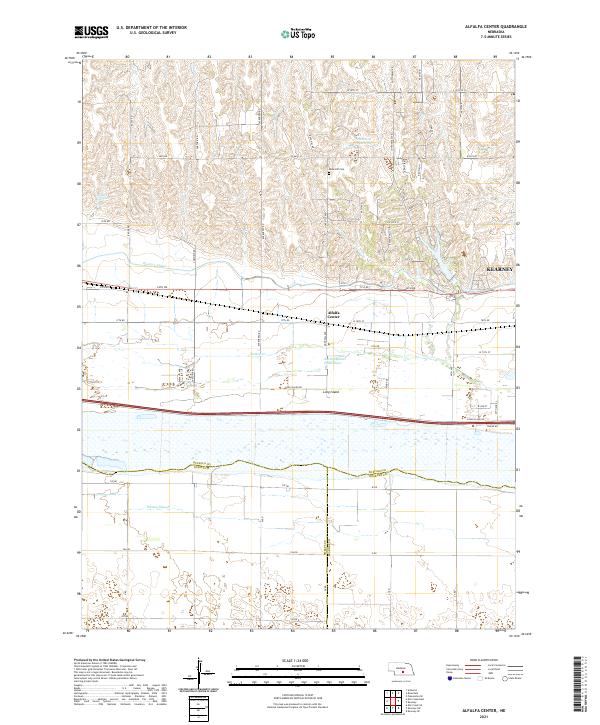
1962 Alfalfa Center
Buffalo County, NE
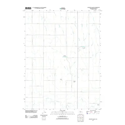
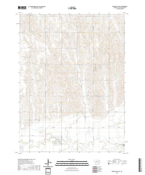
1962 Buckeye Valley
Buffalo County, NE
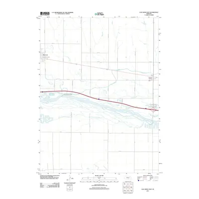
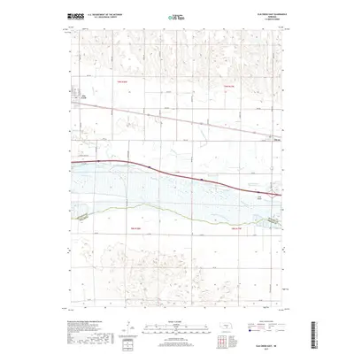
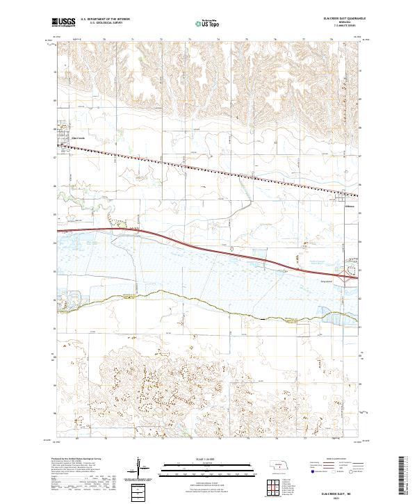
1962 Elm Creek East
Buffalo County, NE
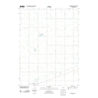
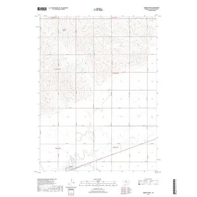
1962 Gibbon North
Buffalo County, NE
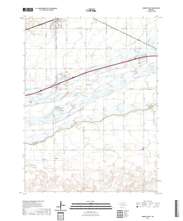
1962 Gibbon South
Buffalo County, NE
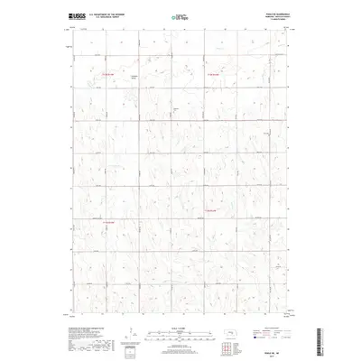
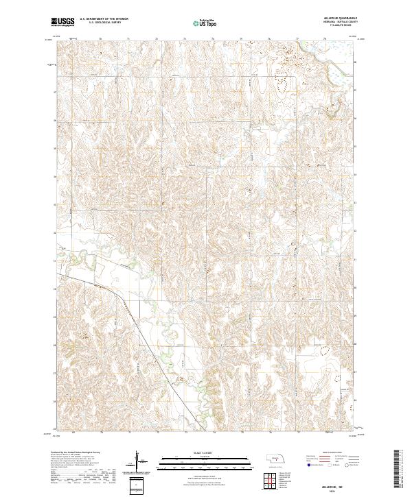
1962 Miller NE
Buffalo County, NE
1962 Newark
Buffalo County, NE
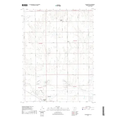
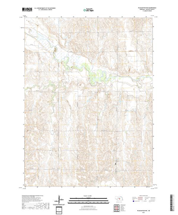
1962 Pleasanton NW
Buffalo County, NE
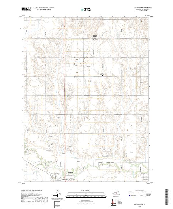
1962 Pleasanton SE
Buffalo County, NE
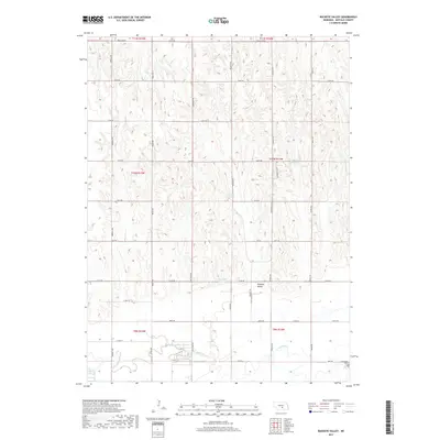
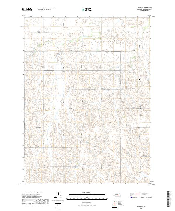
1962 Poole NE
Buffalo County, NE
2011 Alfalfa Center
Buffalo County, NE
2011 Buckeye Valley
Buffalo County, NE
2011 Elm Creek East
Buffalo County, NE
2011 Gibbon North
Buffalo County, NE
2011 Gibbon South
Buffalo County, NE
2011 Miller NE
Buffalo County, NE
2011 Newark
Buffalo County, NE
2011 Pleasanton NW
Buffalo County, NE
2011 Pleasanton SE
Buffalo County, NE
2011 Poole NE
Buffalo County, NE
2014 Alfalfa Center
Buffalo County, NE
2014 Buckeye Valley
Buffalo County, NE
2014 Elm Creek East
Buffalo County, NE
2014 Gibbon North
Buffalo County, NE
2014 Gibbon South
Buffalo County, NE
2014 Miller NE
Buffalo County, NE
2014 Newark
Buffalo County, NE
2014 Pleasanton NW
Buffalo County, NE
2014 Pleasanton SE
Buffalo County, NE
2014 Poole NE
Buffalo County, NE
2017 Alfalfa Center
Buffalo County, NE
2017 Buckeye Valley
Buffalo County, NE
2017 Elm Creek East
Buffalo County, NE
2017 Gibbon North
Buffalo County, NE
2017 Gibbon South
Buffalo County, NE
2017 Miller NE
Buffalo County, NE
2017 Newark
Buffalo County, NE
2017 Pleasanton NW
Buffalo County, NE
2017 Pleasanton SE
Buffalo County, NE
2017 Poole NE
Buffalo County, NE
2021 Alfalfa Center
Buffalo County, NE
2021 Buckeye Valley
Buffalo County, NE
2021 Elm Creek East
Buffalo County, NE

2021 Gibbon North
Buffalo County, NE
2021 Gibbon South
Buffalo County, NE
2021 Miller NE
Buffalo County, NE
2021 Newark
Buffalo County, NE
2021 Pleasanton NW
Buffalo County, NE
2021 Pleasanton SE
Buffalo County, NE
2021 Poole NE
Buffalo County, NE