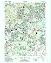
1993 Map of Newark East
USGS Topo · Published 1993About this map
Newark anchors this suburbanizing corridor of New Castle County, appearing here as a complex network of residential developments and institutional hubs during the early 1990s. The landscape is defined by the heavy infrastructure of the John F Kennedy Memorial Highway and the Baltimore and Ohio RR, which cut through established areas like Ogletown and Brookside. Amidst this growth, significant local landmarks persist, including the Delaware Park (Race Track) and the Christiana Hospital complex.
Find a feature on this map
150 named features on this map. Tap any name to fly to it.
Don’t see what you’re looking for? This feature index may not catch every label — zoom into the map to look around manually.
Map Details
Editions of this 1993 Newark East Map
2 editions found
Other maps of this area

1898 · Elkton
USGS Topo · 1:62,500

1900 · Elkton
USGS Topo · 1:62,500

1901 · West Chester
USGS Topo · 1:62,500

1904 · West Chester
USGS Topo · 1:62,500

1904 · Coatesville
USGS Topo · 1:62,500

1904 · Wilmington
USGS Topo · 1:62,500

1906 · Coatesville
USGS Topo · 1:62,500

1906 · Wilmington
USGS Topo · 1:62,500

1917 · Elkton
USGS Topo · 1:62,500

1918 · Coatesville
USGS Topo · 1:62,500