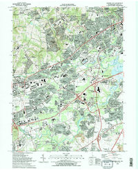
1993 Map of Newark East
USGS Topo · Published 1993About this map
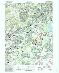
Newark serves as a major hub on this 1993 survey, showcasing the city's significant expansion into the surrounding New Castle Co. landscape. The map reveals a dense network of suburban developments such as Drummond North, Meadowood, and Sycamore Gardens alongside established academic and medical institutions. Goldey Beacom College and Christiana Hospital represent the area's infrastructure, while the Delaware Park Race Track and Christiana Mall highlight the commercial and recreational character of the region during the early 1990s.
Find a feature on this map
150 named features on this map. Tap any name to fly to it.
Don’t see what you’re looking for? This feature index may not catch every label — zoom into the map to look around manually.
Map Details
Editions of this 1993 Newark East Map
2 editions found
Other maps of this area

1898 · Elkton
USGS Topo · 1:62,500

1900 · Elkton
USGS Topo · 1:62,500

1901 · West Chester
USGS Topo · 1:62,500

1904 · West Chester
USGS Topo · 1:62,500

1904 · Coatesville
USGS Topo · 1:62,500

1904 · Wilmington
USGS Topo · 1:62,500

1906 · Coatesville
USGS Topo · 1:62,500

1906 · Wilmington
USGS Topo · 1:62,500

1917 · Elkton
USGS Topo · 1:62,500

1918 · Coatesville
USGS Topo · 1:62,500