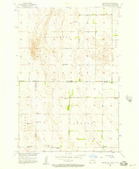
1956 Map of Newark NW
USGS Topo · Published 1957About this map
The rural borderlands of North Dakota and South Dakota are meticulously documented in this 1950s survey, showing the agricultural and township patterns of Southwest, Brampton, Portage, and Dayton. This map is particularly valuable for genealogists and local historians as it marks the sites of numerous local schools that were once central to these prairie communities, including School No 1 and several already noted as defunct, such as School No 4 (Abandoned) and School No 2 (Abandoned).
Find a feature on this map
16 named features on this map. Tap any name to fly to it.
Don’t see what you’re looking for? This feature index may not catch every label — zoom into the map to look around manually.
Map Details
Editions of this 1956 Newark NW Map
2 editions found

Other maps of this area

1894 · Hecla
USGS Topo · 1:62,500

1894 · Oakes
USGS Topo · 1:62,500

1895 · Lamoure
USGS Topo · 1:125,000

1896 · Columbia
USGS Topo · 1:125,000

1918 · La Moure
USGS Topo · 1:125,000

1953 · Jamestown
USGS Topo · 1:250,000

1953 · Hecla SE
USGS Topo · 1:24,000

1953 · Newark SW
USGS Topo · 1:24,000

1953 · Newark
USGS Topo · 1:24,000

1953 · Milbank
USGS Topo · 1:250,000