
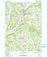
2023 Map of Newark Valley
USGS Topo · Published 2023About this map
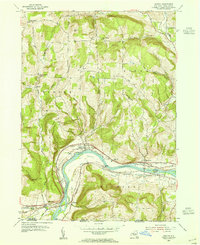
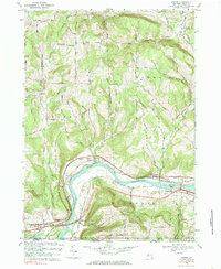
Newark Valley sits as the central hub of this Tioga County landscape, where the East Branch Owego Creek and West Branch Owego Creek carve through a network of prominent ridges. The terrain is defined by family-named heights and hollows, such as Prentice Hill Rd, Courtright Hill Rd, and Bailey Hollow, reflecting a long history of upland settlement.
Find a feature on this map
81 named features on this map. Tap any name to fly to it.
Don’t see what you’re looking for? This feature index may not catch every label — zoom into the map to look around manually.
Map Details
Editions of this 2023 Newark Valley Map
This is the sole edition of this map. No revisions or reprints were ever made.
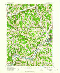
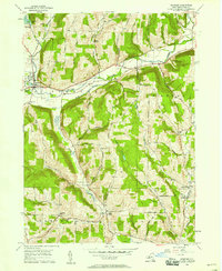
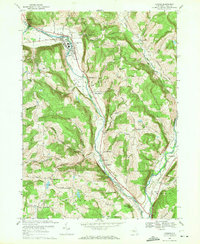
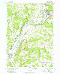
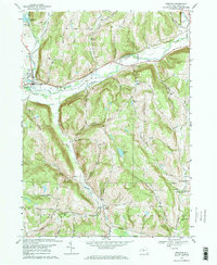
Historical Maps of Hullsville Through Time
19 maps found
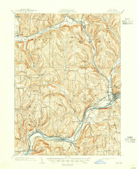
1903 Owego
Tioga County, NY

1906 Catatonk
Tioga County, NY
1950 Richford
Tioga County, NY
1953 Barton
Tioga County, NY
1956 Candor
Tioga County, NY

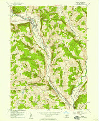
1956 Newark Valley
Tioga County, NY
1956 Owego
Tioga County, NY
1956 Spencer
Tioga County, NY
1969 Barton
Tioga County, NY
1969 Candor
Tioga County, NY
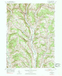
1969 Newark Valley
Tioga County, NY
1969 Owego
Tioga County, NY
1969 Spencer
Tioga County, NY

2023 Barton
Tioga County, NY

2023 Candor
Tioga County, NY
2023 Newark Valley
Tioga County, NY

2023 Owego
Tioga County, NY

2023 Richford
Tioga County, NY

2023 Spencer
Tioga County, NY