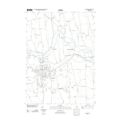
2013 Map of Newark
USGS Topo · Published 2013About this map
The village of Newark serves as the focal point for this survey of Wayne County, where the legacy of nineteenth-century transportation meets contemporary agriculture. The path of the Old Erie Canal remains a prominent fixture of the landscape, widening into the aptly named The Wide Waters west of the village center. This waterway, historically vital to the region's development, is complemented by the winding course of Ganargua Cr.
Find a feature on this map
187 named features on this map. Tap any name to fly to it.
Don’t see what you’re looking for? This feature index may not catch every label — zoom into the map to look around manually.
Map Details
Editions of this 2013 Newark Map
This is the sole edition of this map. No revisions or reprints were ever made.
Other maps of this area

1899 · Palmyra
USGS Topo · 1:62,500

1902 · Geneva
USGS Topo · 1:62,500

1902 · Clyde
USGS Topo · 1:62,500

1902 · Phelps
USGS Topo · 1:62,500

1902 · Palmyra
USGS Topo · 1:62,500

1943 · Lyons
USGS Topo · 1:31,680

1943 · Geneva North
USGS Topo · 1:31,680

1943 · Phelps
USGS Topo · 1:31,680

1943 · Williamson
USGS Topo · 1:31,680

1943 · Sodus
USGS Topo · 1:31,680