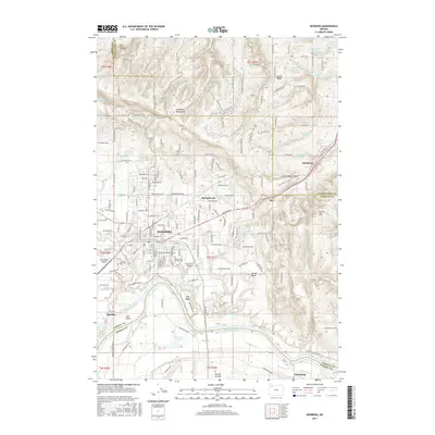
2017 Map of Newberg
USGS Topo · Published 2017About this map
The Willamette River defines the southern boundary of this region, separating the fertile French Prairie from the rising slopes of the Chehalem Mountains. In the center of the sheet, the city of Newberg serves as a hub where the Portland & Western RR and Portland RD converge. This area is noted for its early settlement history, evidenced by several significant burial sites including the Fernwood Pioneer Cem and the Yamhill County Friends Cem.
Find a feature on this map
109 named features on this map. Tap any name to fly to it.
Don’t see what you’re looking for? This feature index may not catch every label — zoom into the map to look around manually.
Map Details
Editions of this 2017 Newberg Map
This is the sole edition of this map. No revisions or reprints were ever made.
Other maps of this area

1916 · Tualatin
USGS Topo · 1:62,500

1923 · Mount Angel
USGS Topo · 1:62,500

1924 · Mc Minnville
USGS Topo · 1:48,000

1926 · Mc Minnville
USGS Topo · 1:62,500

1939 · Tualatin
USGS Topo · 1:62,500

1940 · McMinnville
USGS Topo · 1:62,500

1940 · Tualatin
USGS Topo · 1:62,500

1940 · Mount Angel
USGS Topo · 1:62,500

1941 · Yamhill
USGS Topo · 1:62,500

1942 · Yamhill
USGS Topo · 1:62,500