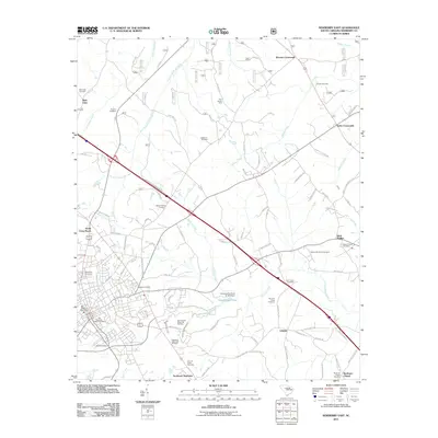
2011 Map of Newberry East
USGS Topo · Published 2011About this map
Southeast Newberry anchor this landscape, where the urban edge of the city gives way to a network of rural crossroads and family cemeteries. The terrain is defined by the drainages of Little Kings Creek and Cannons Creek, which create a natural boundary for various land uses, from the recreation area at Lynch's Woods Park to the specialized Four County State Fish Hatchery. This 2011 survey captures the transition from residential development to agricultural operations like the Price Poultry Farm.
Find a feature on this map
100 named features on this map. Tap any name to fly to it.
Don’t see what you’re looking for? This feature index may not catch every label — zoom into the map to look around manually.
Map Details
Editions of this 2011 Newberry East Map
This is the sole edition of this map. No revisions or reprints were ever made.
Other maps of this area

1904 · Columbia
USGS Topo · 1:125,000

1941 · Spartanburg
USGS Topo · 1:250,000

1953 · Spartanburg
USGS Topo · 1:250,000

1960 · Spartanburg
USGS Topo · 1:250,000

1963 · Spartanburg
USGS Topo · 1:250,000

1964 · Spartanburg
USGS Topo · 1:250,000

1968 · Newberry East
USGS Topo · 1:24,000

1969 · Whitmire South
USGS Topo · 1:24,000

1969 · Pomaria
USGS Topo · 1:24,000

1969 · Blair
USGS Topo · 1:24,000