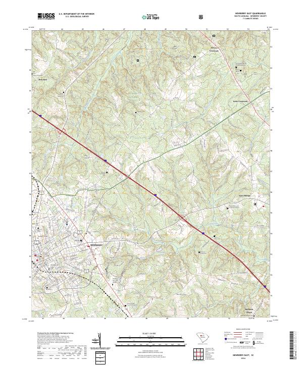
2024 Map of Newberry East
USGS Topo · Published 2024About this map
Newberry serves as the regional hub of this landscape, where the historic Newberry County Courthouse and the campus of Newberry College anchor the town center. The settlement patterns extend outward into the Sumter National Forest, characterized by a high density of rural cemeteries and churches that reflect deep-seated community roots. Genealogists will find a wealth of sites, including the Old Newberry Village Cem, Rosemont Cem, and the Beth Eden Church Graveyard near Beth Eden. The geography is defined by the drainage of Kings Creek and Cannons Creek, with several family-named crossroads like Keitts Crossroads and Browns Crossroads marking early transportation junctions. Further south, landmarks such as Bachman Chapel and Saint Phillips continue the pattern of small-scale ecclesiastical centers serving the surrounding farm and forest lands.
Find a feature on this map
145 named features on this map. Tap any name to fly to it.
Don’t see what you’re looking for? This feature index may not catch every label — zoom into the map to look around manually.
Map Details
Editions of this 2024 Newberry East Map
This is the sole edition of this map. No revisions or reprints were ever made.
Other maps of this area

1904 · Columbia
USGS Topo · 1:125,000

1941 · Spartanburg
USGS Topo · 1:250,000

1953 · Spartanburg
USGS Topo · 1:250,000

1960 · Spartanburg
USGS Topo · 1:250,000

1963 · Spartanburg
USGS Topo · 1:250,000

1964 · Spartanburg
USGS Topo · 1:250,000

1968 · Newberry East
USGS Topo · 1:24,000

1969 · Whitmire South
USGS Topo · 1:24,000

1969 · Pomaria
USGS Topo · 1:24,000

1969 · Blair
USGS Topo · 1:24,000