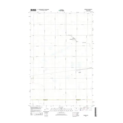
2014 Map of Newburg
USGS Topo · Published 2014About this map
Newburg sits near the northern edge of this 2014 survey, characterized by a highly organized section-line road grid that defines the agricultural landscape of Bottineau Co. The small settlement is anchored by Railroad Ave and is adjacent to the Newburg Cem. Further south, the map captures the transition into McHenry Co and the small community of Russell. The prairie terrain is notably marked by LaPorte Coulee, a drainage feature that breaks the geometric regularity of the surrounding fields. Numerous small, scattered wetlands and depressions are visible across the quadrangle, illustrating the glacial topography typical of this region of North Dakota. This modern digital survey provides a detailed view of the rural infrastructure, from county routes like CR-20 and CR-27b to the numerous numbered avenues and streets that facilitate the local farming economy.
Find a feature on this map
29 named features on this map. Tap any name to fly to it.
Don’t see what you’re looking for? This feature index may not catch every label — zoom into the map to look around manually.
Map Details
Editions of this 2014 Newburg Map
This is the sole edition of this map. No revisions or reprints were ever made.
Other maps of this area

1948 · Newburg SW
USGS Topo · 1:24,000

1949 · Newburg SW
USGS Topo · 1:24,000

1949 · Eckman SE
USGS Topo · 1:24,000

1949 · Eckman
USGS Topo · 1:24,000

1949 · Landa SW
USGS Topo · 1:24,000

1950 · Newburg
USGS Topo · 1:24,000

1950 · Deep
USGS Topo · 1:24,000

1950 · Newburg SE
USGS Topo · 1:24,000

1950 · Landa SW
USGS Topo · 1:24,000

1951 · Westhope SE
USGS Topo · 1:24,000