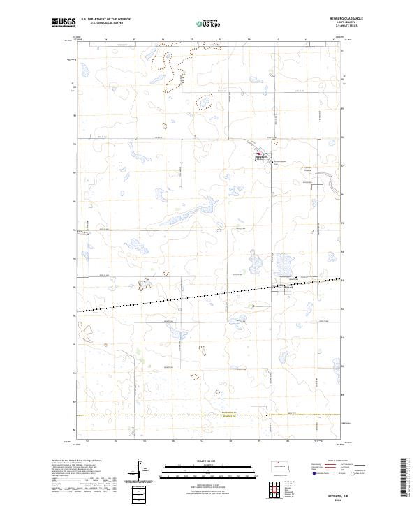
2024 Map of Newburg
USGS Topo · Published 2024About this map
Newburg and Russell anchor this North Dakota landscape along the border of Bottineau Co and McHenry Co. The area is defined by a grid of agricultural section roads including Co Rd 20 and 92nd St NW, where local history is preserved at the Dovre Lutheran Cem near the Dovre Lutheran church and the Russell Cem further south. An Abandoned RR line runs north-south through the eastern sections, marking the former path of rail commerce that once supported these small prairie settlements. The natural drainage of LaPorte Coulee cuts through the northeast, providing a distinct topographical break in the otherwise systematic township and range layout of this fertile region.
Find a feature on this map
33 named features on this map. Tap any name to fly to it.
Don’t see what you’re looking for? This feature index may not catch every label — zoom into the map to look around manually.
Map Details
Editions of this 2024 Newburg Map
This is the sole edition of this map. No revisions or reprints were ever made.
Other maps of this area

1948 · Newburg SW
USGS Topo · 1:24,000

1949 · Newburg SW
USGS Topo · 1:24,000

1949 · Eckman SE
USGS Topo · 1:24,000

1949 · Eckman
USGS Topo · 1:24,000

1949 · Landa SW
USGS Topo · 1:24,000

1950 · Newburg
USGS Topo · 1:24,000

1950 · Deep
USGS Topo · 1:24,000

1950 · Newburg SE
USGS Topo · 1:24,000

1950 · Landa SW
USGS Topo · 1:24,000

1951 · Westhope SE
USGS Topo · 1:24,000