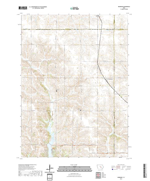
2022 Map of Newburg
USGS Topo · Published 2022About this map
Newburg and Gilman serve as the primary anchors of this agricultural landscape at the convergence of Jasper, Marshall, Poweshiek, and Tama counties. The terrain is defined by the drainage patterns of Rock Cr, Brush Cr, and Big Bear Cr, which carve through the grid of section lines and gravel roads. In the southwestern corner, the impoundment of Rock Creek Lake provides a significant recreational focal point, surrounded by the Rock Creek Trl and Rock Creek Lake Trl. This area retains its rural character, marked by the presence of Hickory Grove Cem and Mount Pleasant Cem, which offer genealogical connections to the early farming families of the region. The map illustrates the persistent 19th-century township structure, with prominent boundaries for t81n r17w and neighboring tracts still governing the modern cartography.
Find a feature on this map
41 named features on this map. Tap any name to fly to it.
Don’t see what you’re looking for? This feature index may not catch every label — zoom into the map to look around manually.
Map Details
Editions of this 2022 Newburg Map
This is the sole edition of this map. No revisions or reprints were ever made.
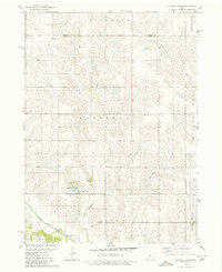
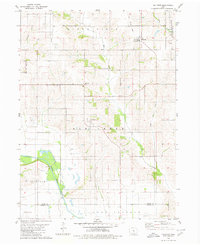
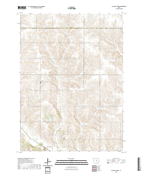
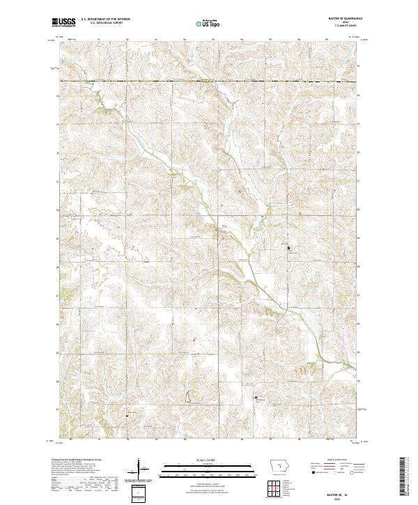
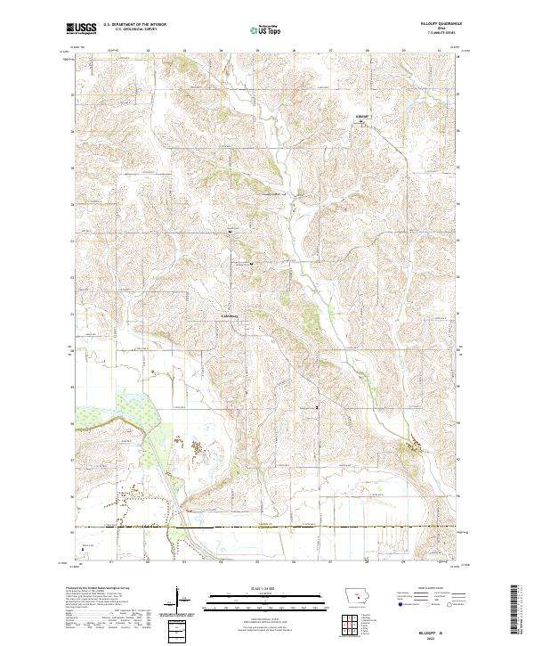
Historical Maps of Rock Creek Township Through Time
8 maps found


Featured Locations
- Rock Creek Township, IA
- Hickory Grove Township, IA
- Greencastle Township, IA
- Newburg, Hickory Grove Township
- Gilman, Greencastle Township