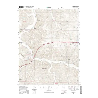
2015 Map of Newburg
USGS Topo · Published 2015About this map
Newburg and Doolittle serve as primary hubs in this central Missouri landscape, where the Gasconade River and Little Piney Creek carve deep valleys through the terrain. The map reveals a dense concentration of family and community burial grounds, such as Harrison-Pillman Cemetery and Luckey Chapel Cemetery, providing significant evidence of long-standing rural settlement patterns. Transportation corridors like the Arlington Outer Rd and White House Ferry Rd trace the paths that once connected river crossings and small hamlets. Significant portions of the Mark Twain National Forest encompass the southern reaches, preserving the forested character of areas like Tater Hollow and Brick House Hollow. Local industry and water resources are noted through features like the Martin Reservoir and the Rolu Spring, while named ridges like Pea Ridge offer a glimpse into the topographical vernacular of Phelps County.
Find a feature on this map
75 named features on this map. Tap any name to fly to it.
Don’t see what you’re looking for? This feature index may not catch every label — zoom into the map to look around manually.
Map Details
Editions of this 2015 Newburg Map
This is the sole edition of this map. No revisions or reprints were ever made.
Other maps of this area

1888 · Tuscumbia
USGS Topo · 1:125,000

1894 · Tuscumbia
USGS Topo · 1:125,000

1912 · Rolla
USGS Topo · 1:62,500

1936 · Waynesville
USGS Topo · 1:48,000

1937 · Vienna
USGS Topo · 1:62,500

1938 · Vienna
USGS Topo · 1:48,000

1942 · Waynesville
USGS Topo · 1:62,500

1944 · Waynesville
USGS Topo · 1:62,500

1947 · Jefferson City
USGS Topo · 1:250,000

1948 · Tavern
USGS Topo · 1:62,500