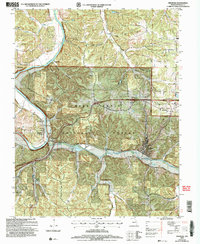
2021 Map of Newburg
USGS Topo · Published 2021About this map
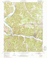
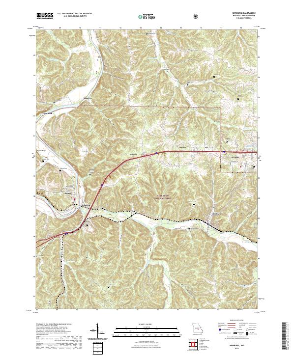
Jerome and Arlington sit along the winding Gasconade River, marking a landscape where river valleys meet the high ridges of the Mark Twain National Forest. The 2021 topography reveals a complex network of family-named hollows, such as Brick House Hollow and Roderick Hollow, which define the drainage patterns leading toward Little Piney Creek. The area is notably dense with small family and community burial grounds, including the Harrison - Pillman Cem and the Wynn - Richards Cem, providing vital geographic anchors for genealogical research in this part of Missouri. As the terrain rises toward Pea Ridge, the map documents the modern footprint of Doolittle and Newburg, showing how contemporary road systems like State Highway J navigate the deep relief of the Ozark Plateau.
Find a feature on this map
81 named features on this map. Tap any name to fly to it.
Don’t see what you’re looking for? This feature index may not catch every label — zoom into the map to look around manually.
Map Details
Editions of this 2021 Newburg Map
This is the sole edition of this map. No revisions or reprints were ever made.
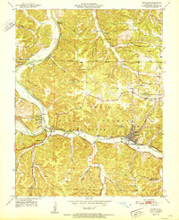
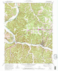
Historical Maps of Arlington Through Time
6 maps found