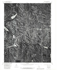
1980 Map of Newburg
USGS Topo · Published 1981About this map
Gasconade River and Little Piney Creek define the landscape of this 1980 orthophotoquad, which combines 1950 land lines with aerial photography taken in the spring of that year. The convergence of these waterways historically shaped the development of the riverfront communities of Jerome and Arlington. To the east, the settlement of Newburg sits along the creek banks, while Doolittle and Sugartree represent the upland residential and agricultural patterns of the Ozark plateau.
Find a feature on this map
9 named features on this map. Tap any name to fly to it.
Don’t see what you’re looking for? This feature index may not catch every label — zoom into the map to look around manually.
Map Details
Editions of this 1980 Newburg Map
This is the sole edition of this map. No revisions or reprints were ever made.
Other maps of this area

1888 · Tuscumbia
USGS Topo · 1:125,000

1894 · Tuscumbia
USGS Topo · 1:125,000

1912 · Rolla
USGS Topo · 1:62,500

1936 · Waynesville
USGS Topo · 1:48,000

1937 · Vienna
USGS Topo · 1:62,500

1938 · Vienna
USGS Topo · 1:48,000

1942 · Waynesville
USGS Topo · 1:62,500

1944 · Waynesville
USGS Topo · 1:62,500

1947 · Jefferson City
USGS Topo · 1:250,000

1948 · Tavern
USGS Topo · 1:62,500