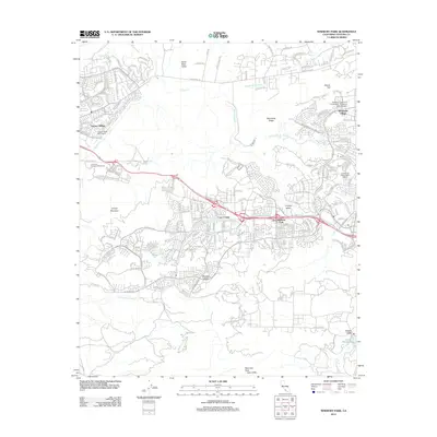
2012 Map of Newbury Park
USGS Topo · Published 2012About this map
Newbury Park and its surrounding residential developments define the modern landscape of the Conejo Valley in this early twenty-first-century survey. The suburban expansion is framed by significant natural and institutional landmarks, including the California Lutheran University - Thousand Oaks Campus near Mount Clef and the master-planned communities of Leisure Village and Casa Conejo. The map reveals the intricate suburban street networks of Mountclef Village set against the open spaces of the Santa Rosa Valley and the Potrero Valley. To the south, the terrain becomes more dramatic as it descends toward Hidden Valley and Lake Sherwood, marked by geological features like Balanced Rock and Echo Cliffs. The hydrologic system is prominently displayed, following the course of Arroyo Conejo and its various forks, such as the N Fork Arroyo Conejo, which weave through the canyons and residential districts of the Conejo Mountain area.
Find a feature on this map
29 named features on this map. Tap any name to fly to it.
Don’t see what you’re looking for? This feature index may not catch every label — zoom into the map to look around manually.
Map Details
Editions of this 2012 Newbury Park Map
This is the sole edition of this map. No revisions or reprints were ever made.
Other maps of this area

1900 · Triunfo Pass
USGS Topo · 1:62,500

1900 · Piru
USGS Topo · 1:62,500

1903 · Santa Paula
USGS Topo · 1:62,500

1903 · Camulos
USGS Topo · 1:125,000

1904 · Hueneme
USGS Topo · 1:62,500

1921 · Piru
USGS Topo · 1:62,500

1921 · Triunfo Pass
USGS Topo · 1:62,500

1932 · Russell Valley
USGS Topo · 1:24,000

1941 · Piru
USGS Topo · 1:62,500

1942 · Santa Paula
USGS Topo · 1:62,500