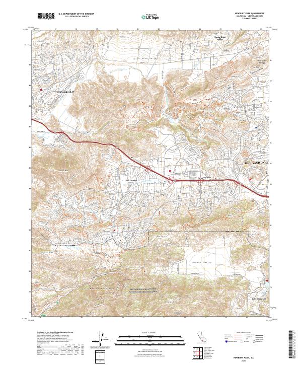
2021 Map of Newbury Park
USGS Topo · Published 2021About this map
Thousand Oaks and Camarillo define the western reaches of the Conejo Valley in this contemporary survey, illustrating the significant suburban development that has shaped southeastern Ventura County. The map details the residential expansion of Newbury Park and Casa Conejo, which are clustered along the primary transport corridors. Higher elevations remain largely preserved, specifically within the Santa Monica Mountains National Recreation Area. This rugged terrain is marked by a complex network of recreational paths, including the Lizard Rock Trail and Stagecoach Bluff Trail. To the south, the landscape descends toward Lake Sherwood and Potrero Valley, while the northern portion is dominated by the Santa Rosa Valley and the California Lutheran Univ campus in Mountclef Village. The contrast between dense residential planning and the open, trail-heavy peaks of Boney Mtn reflects the regional commitment to balancing growth with open space.
Find a feature on this map
57 named features on this map. Tap any name to fly to it.
Don’t see what you’re looking for? This feature index may not catch every label — zoom into the map to look around manually.
Map Details
Editions of this 2021 Newbury Park Map
This is the sole edition of this map. No revisions or reprints were ever made.
Other maps of this area

1900 · Triunfo Pass
USGS Topo · 1:62,500

1900 · Piru
USGS Topo · 1:62,500

1903 · Santa Paula
USGS Topo · 1:62,500

1903 · Camulos
USGS Topo · 1:125,000

1904 · Hueneme
USGS Topo · 1:62,500

1921 · Piru
USGS Topo · 1:62,500

1921 · Triunfo Pass
USGS Topo · 1:62,500

1932 · Russell Valley
USGS Topo · 1:24,000

1941 · Piru
USGS Topo · 1:62,500

1942 · Santa Paula
USGS Topo · 1:62,500