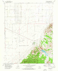
1972 Map of Newcastle
USGS Topo · Published 1976About this map
Newcastle serves as the primary hub of this 1972 survey, situated at the dramatic junction where the flat expanses of the Escalante Valley meet the rising slopes of the Dixie National Forest. The map illustrates a landscape shaped by water management and resource extraction, anchored by the Newcastle Reservoir which captures runoff from Little Pinto Creek and Pinto Creek.
Find a feature on this map
15 named features on this map. Tap any name to fly to it.
Don’t see what you’re looking for? This feature index may not catch every label — zoom into the map to look around manually.
Map Details
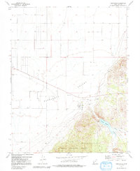
Editions of this 1972 Newcastle Map
2 editions found
Other maps of this area

1885 · St. George
USGS Topo · 1:250,000

1891 · St. George
USGS Topo · 1:250,000

1950 · Antelope Peak
USGS Topo · 1:24,000

1950 · Iron Mountain
USGS Topo · 1:62,500

1950 · Silver Peak
USGS Topo · 1:24,000

1950 · Page Ranch
USGS Topo · 1:24,000

1951 · Silver Peak
USGS Topo · 1:24,000

1951 · Page Ranch
USGS Topo · 1:24,000

1953 · Cedar City
USGS Topo · 1:250,000

1958 · Cedar City
USGS Topo · 1:250,000