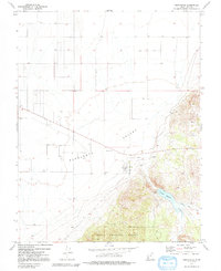
1972 Map of Newcastle
USGS Topo · Published 1991About this map
Newcastle serves as the focal point of this 1970s landscape, situated at the edge of the expansive Escalante Valley. The town's proximity to the Newcastle Reservoir and the Dixie National Forest boundary illustrates the meeting point of desert valley agriculture and the elevated terrain of the forest. Near the settlement, the Newcastle Cem and various water sources like Little Pinto Creek and Pinto Creek mark the long-standing infrastructure of this Iron County community.
Find a feature on this map
15 named features on this map. Tap any name to fly to it.
Don’t see what you’re looking for? This feature index may not catch every label — zoom into the map to look around manually.
Map Details
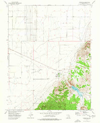
Editions of this 1972 Newcastle Map
2 editions found
Other maps of this area

1885 · St. George
USGS Topo · 1:250,000

1891 · St. George
USGS Topo · 1:250,000

1950 · Antelope Peak
USGS Topo · 1:24,000

1950 · Iron Mountain
USGS Topo · 1:62,500

1950 · Silver Peak
USGS Topo · 1:24,000

1950 · Page Ranch
USGS Topo · 1:24,000

1951 · Silver Peak
USGS Topo · 1:24,000

1951 · Page Ranch
USGS Topo · 1:24,000

1953 · Cedar City
USGS Topo · 1:250,000

1958 · Cedar City
USGS Topo · 1:250,000