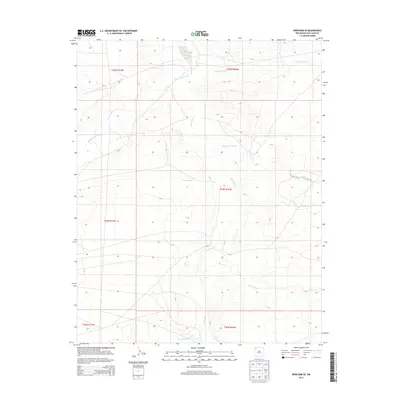
2013 Map of Newcomb SE
USGS Topo · Published 2013About this map
The Chaco River carves a central path through this arid landscape in the Shiprock Agency region, serving as the primary drainage for a network of intermittent washes. This hydrological system defines the local geography, with significant tributaries like Captain Tom Wash and Hunter Wash converging toward the main river channel. The map illustrates a high-desert terrain structured by the Public Land Survey System, showing the township and range divisions of t24n r16w and its neighbors. This 2013 survey provides a clear view of the natural watercourses, such as Arroyo Medio and Teec-ni-di-tso Wash, that have shaped the land's contours over time, reflecting a landscape where water is the primary architect of the physical environment.
Find a feature on this map
13 named features on this map. Tap any name to fly to it.
Don’t see what you’re looking for? This feature index may not catch every label — zoom into the map to look around manually.
Map Details
Editions of this 2013 Newcomb SE Map
This is the sole edition of this map. No revisions or reprints were ever made.
Other maps of this area

1889 · Chaco
USGS Topo · 1:250,000

1892 · Chaco
USGS Topo · 1:250,000

1927 · Sulphur Spring
USGS Topo · 1:96,000

1928 · Kirtland
USGS Topo · 1:125,000

1932 · Kirtland
USGS Topo · 1:125,000

1954 · Shiprock
USGS Topo · 1:250,000

1958 · Shiprock
USGS Topo · 1:250,000

1959 · Shiprock
USGS Topo · 1:250,000
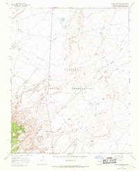
1966 · Sheep Springs
USGS Topo · 1:24,000
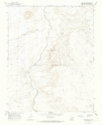
1966 · Newcomb NE
USGS Topo · 1:24,000