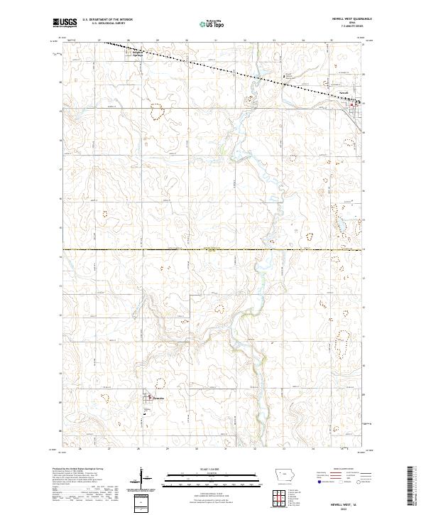
2022 Map of Newell West
USGS Topo · Published 2022About this map
The North Raccoon River carves a winding path through this corner of Northwest Iowa, defining the drainage patterns for a landscape dominated by agricultural sections and rural corridors. The township boundaries of t90n r36w and t90n r35w meet here at the Buena Vista and Sac County line, anchoring the regional map around the incorporated town of Newell. To the west, the smaller community of Nemaha and the whistle-stop of Sulphur Springs reflect the enduring grid of the late-19th-century settlement pattern.
Find a feature on this map
31 named features on this map. Tap any name to fly to it.
Don’t see what you’re looking for? This feature index may not catch every label — zoom into the map to look around manually.
Map Details
Editions of this 2022 Newell West Map
This is the sole edition of this map. No revisions or reprints were ever made.
Other maps of this area

1954 · Fort Dodge
USGS Topo · 1:250,000

1957 · Fort Dodge
USGS Topo · 1:250,000

1958 · Fort Dodge
USGS Topo · 1:250,000

1979 · Lakeside
USGS Topo · 1:24,000

1979 · Storm Lake
USGS Topo · 1:24,000

1979 · Varina
USGS Topo · 1:24,000

1979 · Newell West
USGS Topo · 1:24,000

1979 · Storm Lake NE
USGS Topo · 1:24,000

1979 · Newell East
USGS Topo · 1:24,000

1980 · Sac City East
USGS Topo · 1:24,000