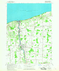
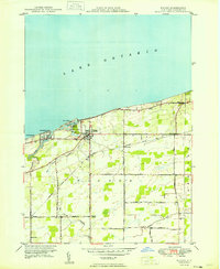
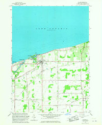
1965 Map of Newfane
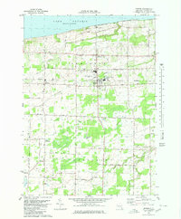
USGS Topo · Published 1968This historical map portrays the area of Newfane in 1965, primarily covering Niagara County. Featuring a scale of 1:24000, this map provides a highly detailed snapshot of the terrain, roads, buildings, counties, and historical landmarks in the Newfane region at the time. Published in 1968, it is the sole known edition of this map.
Find a feature on this map
58 named features on this map. Tap any name to fly to it.
Don’t see what you’re looking for? This feature index may not catch every label — zoom into the map to look around manually.
Map Details
Editions of this 1965 Newfane Map
This is the sole edition of this map. No revisions or reprints were ever made.
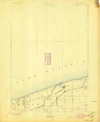
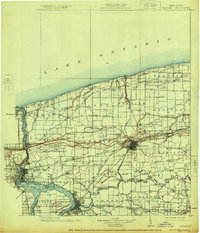
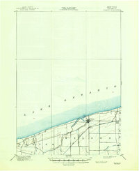
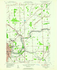
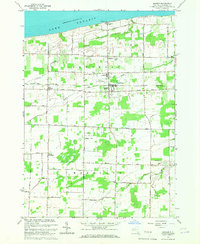
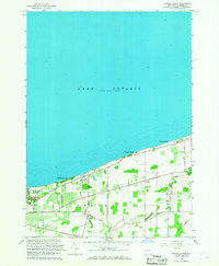
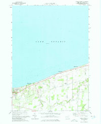
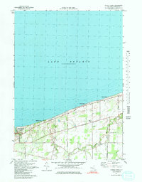
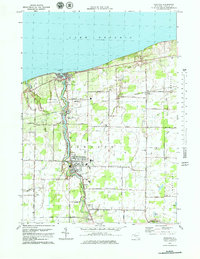
Historical Maps of Olcott Through Time
36 maps found
1894 Wilson
Niagara County, NY
1899 Niagara
Niagara County, NY
1900 Wilson
Niagara County, NY

1948 Tonawanda West
Niagara County, NY

1948 Wilson
Niagara County, NY

1949 Barker
Niagara County, NY

1949 Cambria
Niagara County, NY

1949 Sixmile Creek
Niagara County, NY
1949 Wilson
Niagara County, NY

1950 Ft Niagara
Niagara County, NY

1950 Lewiston
Niagara County, NY

1950 Newfane
Niagara County, NY
1950 Tonawanda East
Niagara County, NY

1950 Tonawanda West
Niagara County, NY

1952 Toronto
Niagara County, NY

1954 Tonawanda West
Niagara County, NY

1962 Toronto
Niagara County, NY
1965 Barker
Niagara County, NY

1965 Cambria
Niagara County, NY

1965 Ft Niagara
Niagara County, NY

1965 Lewiston
Niagara County, NY
1965 Newfane
Niagara County, NY
1965 Sixmile Creek
Niagara County, NY

1965 Tonawanda East
Niagara County, NY

1965 Tonawanda West
Niagara County, NY

1965 Toronto
Niagara County, NY
1965 Wilson
Niagara County, NY
1973 Sixmile Creek
Niagara County, NY
1974 Sixmile Creek
Niagara County, NY
1978 Newfane
Niagara County, NY
1980 Barker
Niagara County, NY

1980 Cambria
Niagara County, NY

1980 Ft Niagara
Niagara County, NY

1980 Lewiston
Niagara County, NY

1980 Tonawanda East
Niagara County, NY

1980 Tonawanda West
Niagara County, NY