
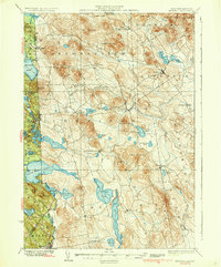
1937 Map of Newfield
USGS Topo · Published 1937About this map
Limerick and the surrounding borderlands of York County define this mid-century portrait of southwestern Maine and neighboring New Hampshire. The landscape is a dense network of water bodies and high points, where the Little Ossipee River and Salmon Falls River drain a region of significant elevation changes. Small villages and crossroads like North Shapleigh, East Parsonsfield, and Maplewood are connected by a web of primary and secondary roads, reflecting a late 1930s settlement pattern that relies on rural commerce and local industry.
Find a feature on this map
75 named features on this map. Tap any name to fly to it.
Don’t see what you’re looking for? This feature index may not catch every label — zoom into the map to look around manually.
Map Details
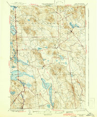
Editions of this 1937 Newfield Map
3 editions found
Other maps of this area

1891 · Berwick
USGS Topo · 1:62,500

1891 · Kennebunk
USGS Topo · 1:62,500

1891 · Buxton
USGS Topo · 1:62,500

1891 · Newfield
USGS Topo · 1:62,500

1892 · Buxton
USGS Topo · 1:62,500

1893 · Kennebunk
USGS Topo · 1:62,500

1893 · Berwick
USGS Topo · 1:62,500

1893 · Buxton
USGS Topo · 1:62,500

1893 · Newfield
USGS Topo · 1:62,500

1896 · Sebago
USGS Topo · 1:62,500