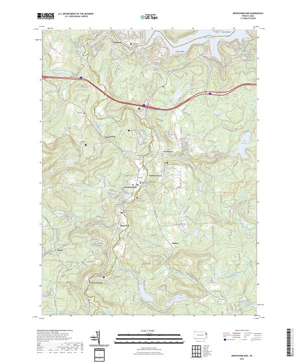
2023 Map of Newfoundland
USGS Topo · Published 2023About this map
Wallenpaupack Creek and its many branches form the primary drainage of this landscape on the border of Wayne and Pike Counties. The community of Newfoundland serves as a central hub, flanked by several Moravian burial sites including the Newfoundland Moravian Church Cem and Hopedale Moravian Cem. These religious landmarks, along with the Heazelton Family Cem, provide specific points of interest for those tracing early families in the region.
Find a feature on this map
181 named features on this map. Tap any name to fly to it.
Don’t see what you’re looking for? This feature index may not catch every label — zoom into the map to look around manually.
Map Details
Editions of this 2023 Newfoundland Map
This is the sole edition of this map. No revisions or reprints were ever made.
Other maps of this area

1919 · Pocono
USGS Topo · 1:62,500

1921 · Pocono
USGS Topo · 1:62,500

1923 · Pocono
USGS Topo · 1:62,500

1924 · Bushkill
USGS Topo · 1:48,000

1928 · Ariel
USGS Topo · 1:62,500

1932 · Ariel
USGS Topo · 1:62,500

1935 · Hawley
USGS Topo · 1:62,500

1938 · Hawley
USGS Topo · 1:62,500

1943 · Bushkill
USGS Topo · 1:62,500

1943 · Pocono
USGS Topo · 1:62,500