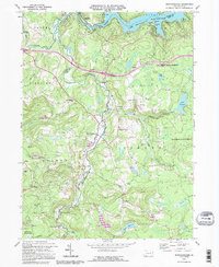
1992 Map of Newfoundland
USGS Topo · Published 1995About this map
Lake Wallenpaupack dominates the northern reaches of this map, serving as a focal point for a region defined by its winding waterways and small villages. At the junction of Wayne and Pike Counties, the landscape is etched by the West Branch Wallenpaupack Creek and the East Branch Wallenpaupack Creek, which converge near the village of Newfoundland. This area reflects a quiet late-century rural character, where small clusters of settlement like Greentown, Angels, and Hemlock Grove are connected by narrow roads and older industrial footprints such as Haags Mill.
Find a feature on this map
55 named features on this map. Tap any name to fly to it.
Don’t see what you’re looking for? This feature index may not catch every label — zoom into the map to look around manually.
Map Details
Editions of this 1992 Newfoundland Map
This is the sole edition of this map. No revisions or reprints were ever made.
Other maps of this area

1919 · Pocono
USGS Topo · 1:62,500

1921 · Pocono
USGS Topo · 1:62,500

1923 · Pocono
USGS Topo · 1:62,500

1924 · Bushkill
USGS Topo · 1:48,000

1928 · Ariel
USGS Topo · 1:62,500

1932 · Ariel
USGS Topo · 1:62,500

1935 · Hawley
USGS Topo · 1:62,500

1938 · Hawley
USGS Topo · 1:62,500

1943 · Bushkill
USGS Topo · 1:62,500

1943 · Pocono
USGS Topo · 1:62,500
Featured Places
- Sterling Township, PA
- Greene Township, PA
- Dreher Township, PA
- Greentown, Greene Township
- Lake in the Clouds, Greene Township