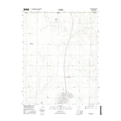
2016 Map of Newkirk
USGS Topo · Published 2016About this map
Newkirk serves as the focal point of this northern Oklahoma region, situated just south of the Kansas-Oklahoma border near State Line Rd. The landscape is defined by a network of drainage systems, including Chilocco Cr, Bois d'Arc Cr, and Deer Cr, which carve through the plains. The small settlement of Chilocco sits in the north near the state line, while Middleton lies to the west. This 2016 survey documents the enduring layout of the town of Newkirk, including its grid of numbered streets and avenues such as W 1st St and N Academy Ave. Just north of the town center, local history is preserved at Newkirk Cem and Washunga Cem. Aviation activity is noted at the Grass Roots Airport to the southwest, while the surrounding area remains largely rural, divided by a precise grid of county roads like W Peckham Rd and N La Cann Rd.
Find a feature on this map
83 named features on this map. Tap any name to fly to it.
Don’t see what you’re looking for? This feature index may not catch every label — zoom into the map to look around manually.
Map Details
Editions of this 2016 Newkirk Map
This is the sole edition of this map. No revisions or reprints were ever made.
Other maps of this area

1889 · Burden
USGS Topo · 1:125,000

1890 · Wellington
USGS Topo · 1:125,000

1935 · Kaw
USGS Topo · 1:62,500

1955 · Wichita
USGS Topo · 1:250,000

1955 · Enid
USGS Topo · 1:250,000

1958 · Enid
USGS Topo · 1:250,000

1958 · Wichita
USGS Topo · 1:250,000

1963 · Uncas
USGS Topo · 1:24,000

1963 · Kaw City NW
USGS Topo · 1:24,000

1965 · Silverdale
USGS Topo · 1:24,000