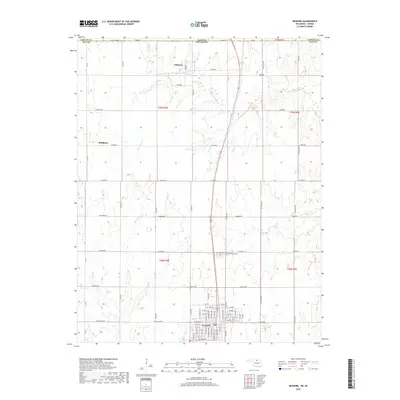
2018 Map of Newkirk
USGS Topo · Published 2018About this map
Newkirk serves as the primary hub of this Kay County landscape, with a dense street grid organized around thoroughfares such as N Academy Ave and S Cedar Ave. To the north, the settlement of Chilocco sits near the Kansas-Oklahoma state line, while Middleton occupies a rural position to the west. This 2018 survey reveals a terrain defined by a strict section-line road network, where routes like W Indian Rd and N Prentice Rd divide the open country.
Find a feature on this map
86 named features on this map. Tap any name to fly to it.
Don’t see what you’re looking for? This feature index may not catch every label — zoom into the map to look around manually.
Map Details
Editions of this 2018 Newkirk Map
This is the sole edition of this map. No revisions or reprints were ever made.
Other maps of this area

1889 · Burden
USGS Topo · 1:125,000

1890 · Wellington
USGS Topo · 1:125,000

1935 · Kaw
USGS Topo · 1:62,500

1955 · Wichita
USGS Topo · 1:250,000

1955 · Enid
USGS Topo · 1:250,000

1958 · Enid
USGS Topo · 1:250,000

1958 · Wichita
USGS Topo · 1:250,000

1963 · Uncas
USGS Topo · 1:24,000

1963 · Kaw City NW
USGS Topo · 1:24,000

1965 · Silverdale
USGS Topo · 1:24,000