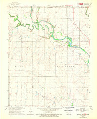
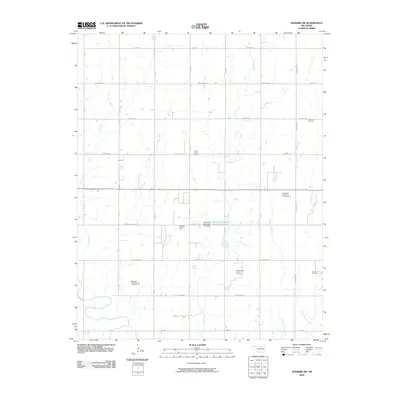
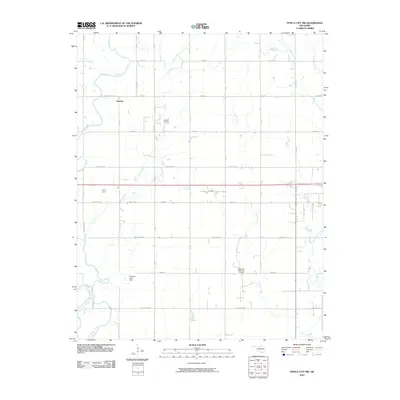
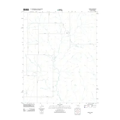
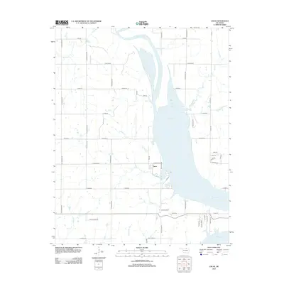
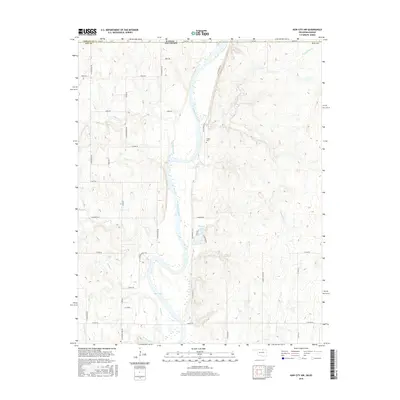
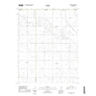
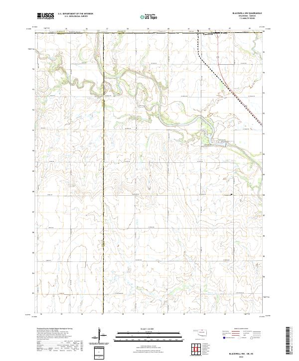
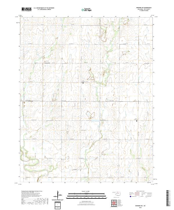
1968 Map of Newkirk SW
USGS Topo · Published 1970About this map
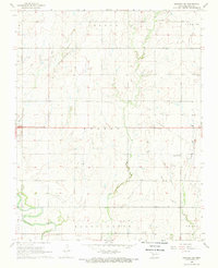
The Chikaskia River winds through the southern portion of this Kay County landscape, defining the rural character of Round Grove and Cross townships during the late 1960s. This territory is heavily marked by energy extraction, with expansive boundaries for the West Blackwell East Field, Northwest Garrett Oil and Gas Field, and Blackwell Southeast Oil and Gas Field overlaying the agricultural grid.
Find a feature on this map
30 named features on this map. Tap any name to fly to it.
Don’t see what you’re looking for? This feature index may not catch every label — zoom into the map to look around manually.
Map Details
Editions of this 1968 Newkirk SW Map
This is the sole edition of this map. No revisions or reprints were ever made.
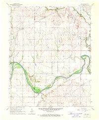
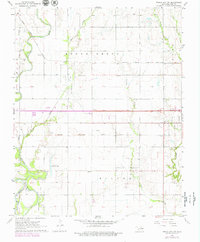
Historical Maps of Grainville Through Time
43 maps found

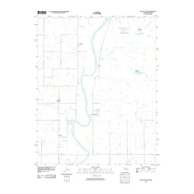
1935 Kaw
Kay County, OK
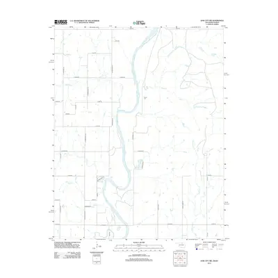
1963 Kaw City NW
Kay County, OK
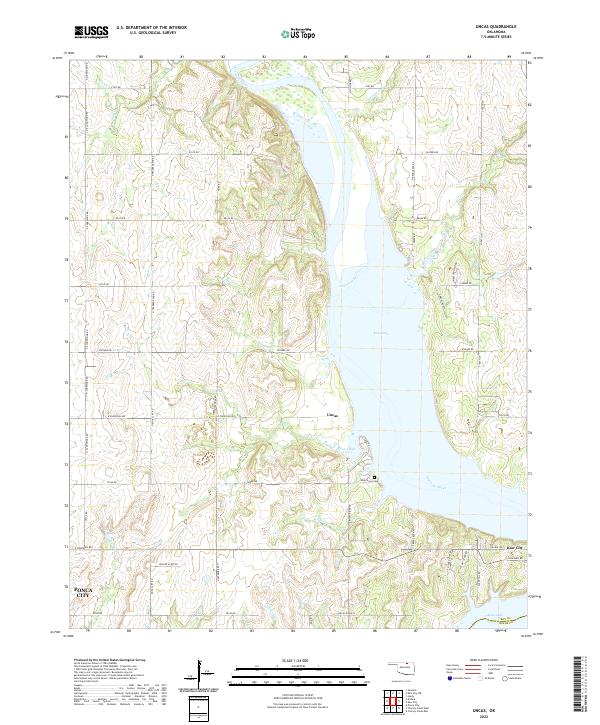
1963 Uncas
Kay County, OK
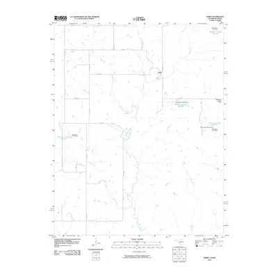
1964 Hardy
Kay County, OK
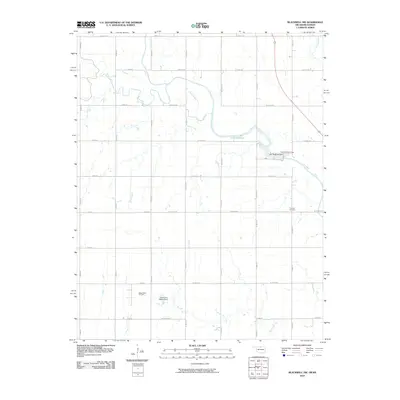
1968 Blackwell NW
Kay County, OK
1968 Eddy
Kay County, OK
1968 Newkirk SW
Kay County, OK
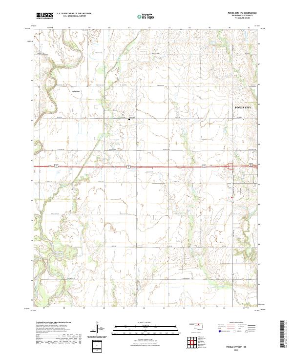
1968 Ponca City NW
Kay County, OK
2009 Eddy
Kay County, OK
2009 Newkirk SW
Kay County, OK
2010 Blackwell NW
Kay County, OK
2010 Hardy
Kay County, OK
2010 Kaw City NW
Kay County, OK
2010 Ponca City NW
Kay County, OK
2010 Uncas
Kay County, OK
2012 Blackwell NW
Kay County, OK
2012 Eddy
Kay County, OK
2012 Hardy
Kay County, OK
2012 Kaw City NW
Kay County, OK
2012 Newkirk SW
Kay County, OK
2012 Ponca City NW
Kay County, OK
2012 Uncas
Kay County, OK
2016 Blackwell NW
Kay County, OK
2016 Eddy
Kay County, OK
2016 Hardy
Kay County, OK
2016 Kaw City NW
Kay County, OK
2016 Newkirk SW
Kay County, OK
2016 Ponca City NW
Kay County, OK
2016 Uncas
Kay County, OK
2018 Blackwell NW
Kay County, OK
2018 Eddy
Kay County, OK
2018 Hardy
Kay County, OK
2018 Kaw City NW
Kay County, OK
2018 Newkirk SW
Kay County, OK
2018 Ponca City NW
Kay County, OK
2018 Uncas
Kay County, OK
2022 Blackwell NW
Kay County, OK
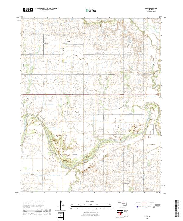
2022 Eddy
Kay County, OK
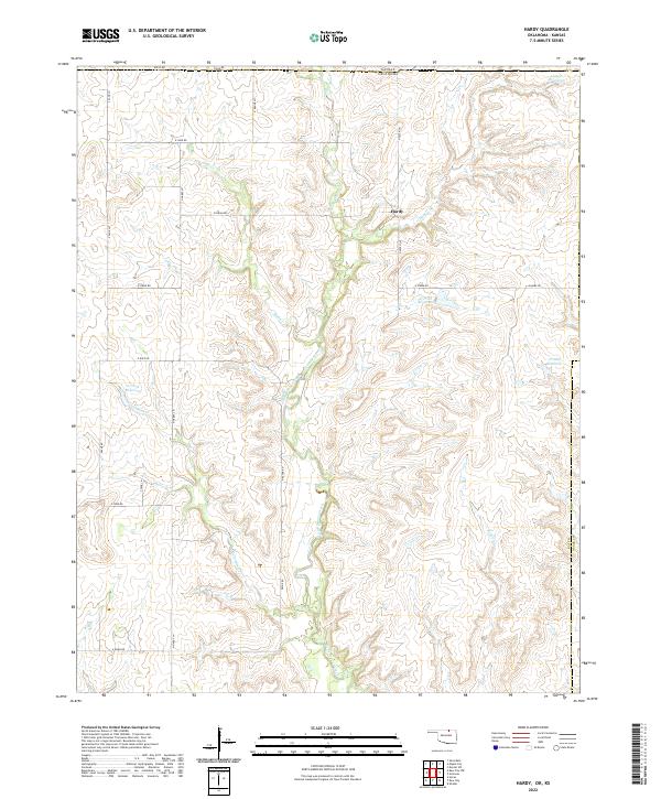
2022 Hardy
Kay County, OK
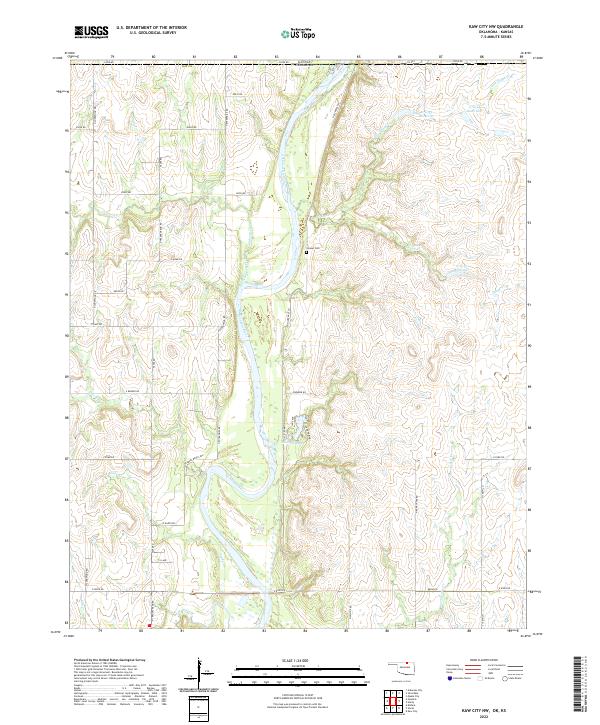
2022 Kaw City NW
Kay County, OK
2022 Newkirk SW
Kay County, OK
2022 Ponca City NW
Kay County, OK
2022 Uncas
Kay County, OK