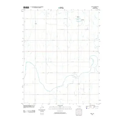
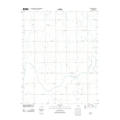
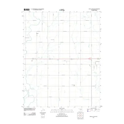
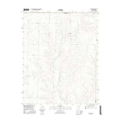
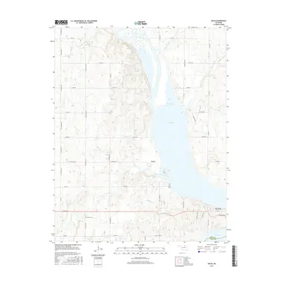
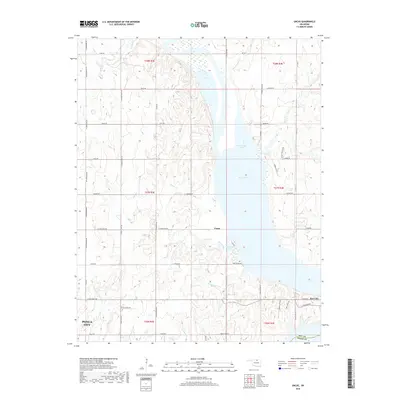
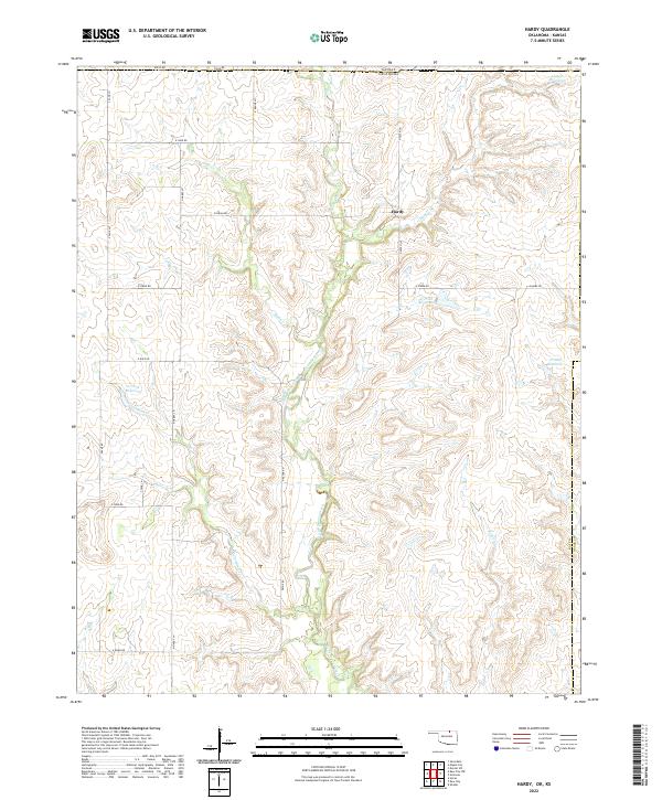
1964 Map of Hardy
USGS Topo · Published 1990About this map
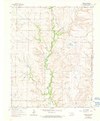
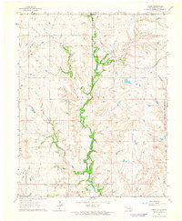
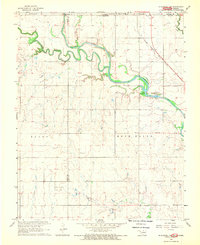
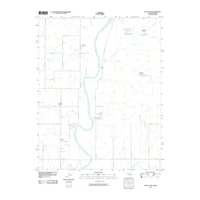
The tiny settlement of Hardy sits at the northern edge of this terrain where the Midland Valley defines the local topography. This 1964 record illustrates the convergence of several major water systems, including Little Beaver Creek, Mud Creek, and Canadian Creek, which carve through the landscape near the Kansas-Oklahoma state line. The map provides clear evidence of the complex jurisdictional boundaries of the era, showing where the Kaw Reservation meets the Osage Indian Reservation Boundary.
Find a feature on this map
17 named features on this map. Tap any name to fly to it.
Don’t see what you’re looking for? This feature index may not catch every label — zoom into the map to look around manually.
Map Details
Editions of this 1964 Hardy Map
2 editions found
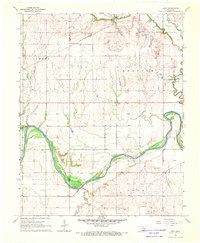
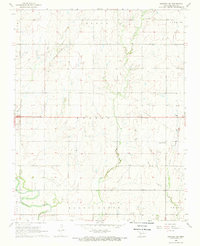
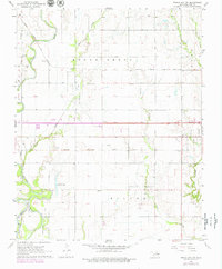
Historical Maps of Hardy Through Time
43 maps found

1935 Kaw
Kay County, OK
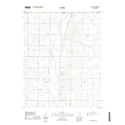
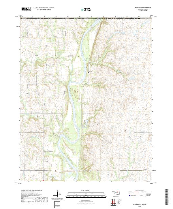
1963 Kaw City NW
Kay County, OK
1963 Uncas
Kay County, OK
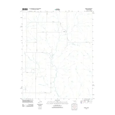
1964 Hardy
Kay County, OK
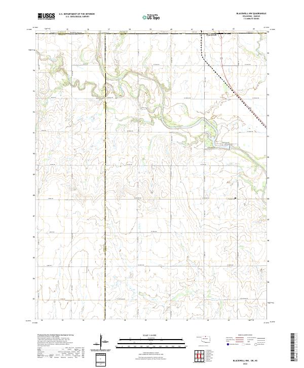
1968 Blackwell NW
Kay County, OK
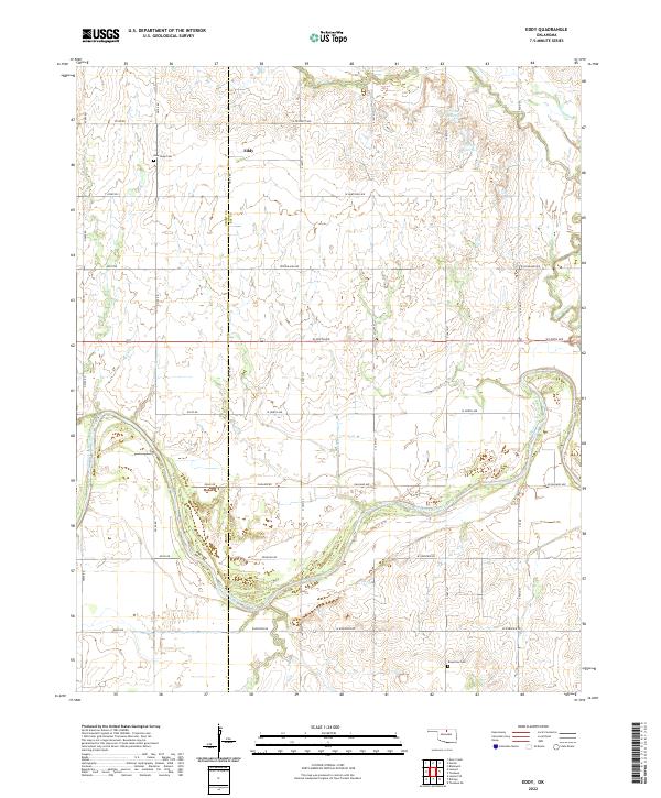
1968 Eddy
Kay County, OK
1968 Newkirk SW
Kay County, OK
1968 Ponca City NW
Kay County, OK
2009 Eddy
Kay County, OK
2009 Newkirk SW
Kay County, OK
2010 Blackwell NW
Kay County, OK
2010 Hardy
Kay County, OK
2010 Kaw City NW
Kay County, OK
2010 Ponca City NW
Kay County, OK
2010 Uncas
Kay County, OK
2012 Blackwell NW
Kay County, OK
2012 Eddy
Kay County, OK
2012 Hardy
Kay County, OK
2012 Kaw City NW
Kay County, OK
2012 Newkirk SW
Kay County, OK
2012 Ponca City NW
Kay County, OK
2012 Uncas
Kay County, OK
2016 Blackwell NW
Kay County, OK
2016 Eddy
Kay County, OK
2016 Hardy
Kay County, OK
2016 Kaw City NW
Kay County, OK
2016 Newkirk SW
Kay County, OK
2016 Ponca City NW
Kay County, OK
2016 Uncas
Kay County, OK
2018 Blackwell NW
Kay County, OK
2018 Eddy
Kay County, OK
2018 Hardy
Kay County, OK
2018 Kaw City NW
Kay County, OK
2018 Newkirk SW
Kay County, OK
2018 Ponca City NW
Kay County, OK
2018 Uncas
Kay County, OK
2022 Blackwell NW
Kay County, OK
2022 Eddy
Kay County, OK
2022 Hardy
Kay County, OK
2022 Kaw City NW
Kay County, OK
2022 Newkirk SW
Kay County, OK
2022 Ponca City NW
Kay County, OK
2022 Uncas
Kay County, OK