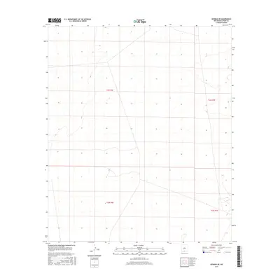
2017 Map of Newman NE
USGS Topo · Published 2017About this map
Otero County, New Mexico, landscape is defined by the stark, geometric lines of the Public Land Survey System in this 2017 study. The quadrangle is divided into several townships, including T24s R6e, T24s R7e, T25s R6e, and T25s R7e. This modern topographic survey by the U.S. Geological Survey focuses on the subtle elevation changes of the high desert, recorded with a contour interval of 20 feet. The absence of significant surface water or named settlements on this specific sheet highlights the vast, open character of the region. This document serves as a precise baseline for understanding the topography and official land divisions in this portion of Southern New Mexico during the early 21st century.
Find a feature on this map
4 named features on this map. Tap any name to fly to it.
Don’t see what you’re looking for? This feature index may not catch every label — zoom into the map to look around manually.
Map Details
Editions of this 2017 Newman NE Map
This is the sole edition of this map. No revisions or reprints were ever made.
Other maps of this area

1940 · Orogrande
USGS Topo · 1:62,500

1940 · Newman
USGS Topo · 1:62,500

1941 · Desert
USGS Topo · 1:62,500

1943 · Parker Lake
USGS Topo · 1:62,500

1943 · Desert
USGS Topo · 1:62,500

1943 · Newman
USGS Topo · 1:62,500

1943 · Orogrande
USGS Topo · 1:62,500

1948 · Davies Tank
USGS Topo · 1:24,000

1948 · El Wood
USGS Topo · 1:24,000

1948 · Newman NW
USGS Topo · 1:24,000