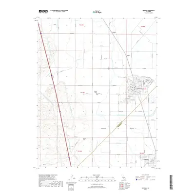
2018 Map of Newman
USGS Topo · Published 2018About this map
The Central Valley agricultural landscape of the San Joaquin Valley is defined by a complex network of water management features, including the massive Governor Edmund G Brown California Aqueduct and the Delta-Mendota Canal. This western Stanislaus County region, as it appeared in the late 2010s, showcases the towns of Newman and Gustine nestled between the foothills and the fertile floor. The map traces the path of Orestimba Cr as it flows from the western heights near Poverty Flat toward the valley. Local history is anchored by the San Joachim Cem and small rail-adjacent locales like Stomar and Timba. The geometric precision of field roads like W Stuhr Rd and Orestimba Rd highlights the intensive land use and irrigation infrastructure required for this industrial farming corridor.
Find a feature on this map
37 named features on this map. Tap any name to fly to it.
Don’t see what you’re looking for? This feature index may not catch every label — zoom into the map to look around manually.
Map Details
Editions of this 2018 Newman Map
This is the sole edition of this map. No revisions or reprints were ever made.
Other maps of this area

1916 · Mitchell School
USGS Topo · 1:31,680

1916 · Crows Landing
USGS Topo · 1:31,680

1916 · Patterson
USGS Topo · 1:31,680

1917 · Newman
USGS Topo · 1:31,680

1918 · Gustine
USGS Topo · 1:31,680

1919 · Orestimba
USGS Topo · 1:62,500

1919 · Orestimba Creek
USGS Topo · 1:31,680

1919 · Ingomar
USGS Topo · 1:31,680

1920 · Pacheco Pass
USGS Topo · 1:62,500

1922 · Howard Ranch
USGS Topo · 1:31,680