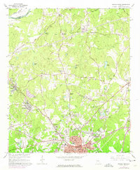
1965 Map of Newnan North
USGS Topo · Published 1974About this map
Arnco Mills and the company-town infrastructure around the Central of Georgia Railroad dominate the industrial landscape of Coweta County in the mid-1960s. This survey documents the northwesterly expansion of Newnan, where residential developments like Sherwood Forest and Windsor Estates began encroaching on established rural tracts. The transition from agricultural use is evident in the cluster of local institutions, from the County Prison Camp and County Hospital to the Arnco-Sargent School.
Find a feature on this map
73 named features on this map. Tap any name to fly to it.
Don’t see what you’re looking for? This feature index may not catch every label — zoom into the map to look around manually.
Map Details
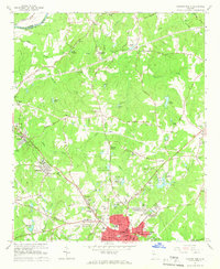
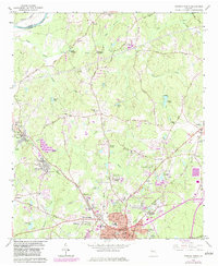
Editions of this 1965 Newnan North Map
3 editions found
Other maps of this area

1891 · Marietta
USGS Topo · 1:125,000

1895 · Marietta
USGS Topo · 1:125,000

1897 · Marietta
USGS Topo · 1:125,000

1901 · Marietta
USGS Topo · 1:125,000

1953 · Atlanta
USGS Topo · 1:250,000

1954 · Palmetto
USGS Topo · 1:24,000

1957 · Atlanta
USGS Topo · 1:250,000

1958 · Rico
USGS Topo · 1:24,000

1958 · Atlanta
USGS Topo · 1:250,000
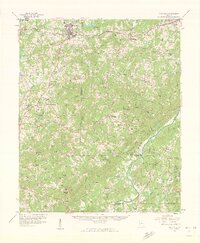
1958 · Villa Rica
USGS Topo · 1:62,500