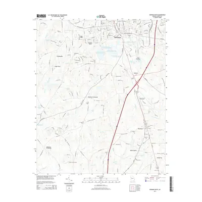
2014 Map of Newnan South
USGS Topo · Published 2014About this map
Newnan and its southern surroundings are defined by a complex network of municipal water resources and small, dispersed rural settlements. The northern edge of the map features a string of industrial and utility reservoirs, including Newnan Waterworks Reservoir Number One and Newnan Water and Light Lake Number Four, which serve the growing city. Moving south, the landscape transitions into agricultural land and residential developments like Woodsmoke and Smokey Acres. Genealogists will find a significant concentration of burial grounds, such as Old Bethlehem Cem and the Summer Hill Cem, which anchor the various rural communities. Transportation corridors like Gordon Rd and Old Corinth Rd connect long-standing crossroads like Stephens Crossroad and Bohanon Crossroad, while the aviation infrastructure is represented by Newnan Coweta County Airport and smaller private strips.
Find a feature on this map
157 named features on this map. Tap any name to fly to it.
Don’t see what you’re looking for? This feature index may not catch every label — zoom into the map to look around manually.
Map Details
Editions of this 2014 Newnan South Map
This is the sole edition of this map. No revisions or reprints were ever made.
Other maps of this area

1953 · Atlanta
USGS Topo · 1:250,000

1957 · Atlanta
USGS Topo · 1:250,000

1958 · Atlanta
USGS Topo · 1:250,000

1964 · Hogansville
USGS Topo · 1:24,000

1964 · Grantville
USGS Topo · 1:24,000

1965 · Newnan South
USGS Topo · 1:24,000
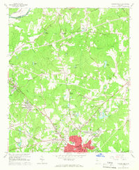
1965 · Newnan North
USGS Topo · 1:24,000
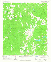
1965 · Newnan SW
USGS Topo · 1:24,000
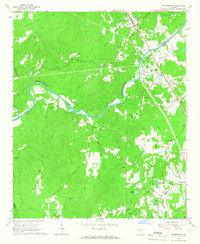
1965 · Whitesburg
USGS Topo · 1:24,000

1965 · Madras
USGS Topo · 1:24,000