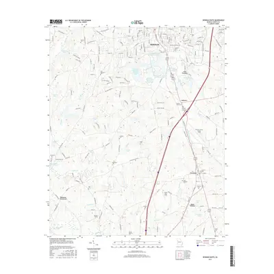
2017 Map of Newnan South
USGS Topo · Published 2017About this map
Newnan's southern landscape is defined by its complex network of water resources and a deep-seated historical record preserved in its cemeteries. The map details a sophisticated water management system south of the city center, including the Newnan Waterworks Reservoir Number One and a series of numbered lakes managed by the Water and Light department. These reservoirs, alongside Pearl Springs and East Newnan Lake, highlight the area's essential infrastructure.
Find a feature on this map
178 named features on this map. Tap any name to fly to it.
Don’t see what you’re looking for? This feature index may not catch every label — zoom into the map to look around manually.
Map Details
Editions of this 2017 Newnan South Map
This is the sole edition of this map. No revisions or reprints were ever made.
Other maps of this area

1953 · Atlanta
USGS Topo · 1:250,000

1957 · Atlanta
USGS Topo · 1:250,000

1958 · Atlanta
USGS Topo · 1:250,000

1964 · Hogansville
USGS Topo · 1:24,000

1964 · Grantville
USGS Topo · 1:24,000

1965 · Newnan South
USGS Topo · 1:24,000
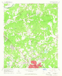
1965 · Newnan North
USGS Topo · 1:24,000
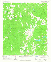
1965 · Newnan SW
USGS Topo · 1:24,000
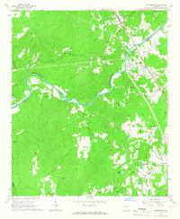
1965 · Whitesburg
USGS Topo · 1:24,000

1965 · Madras
USGS Topo · 1:24,000