2024 Map of Newnan South
USGS Topo · Published 2024About this map
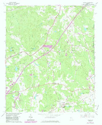
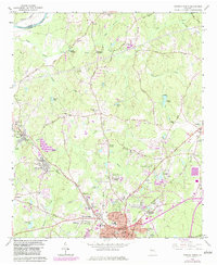
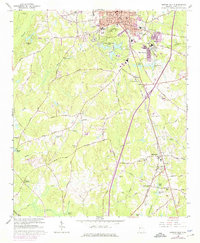
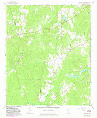
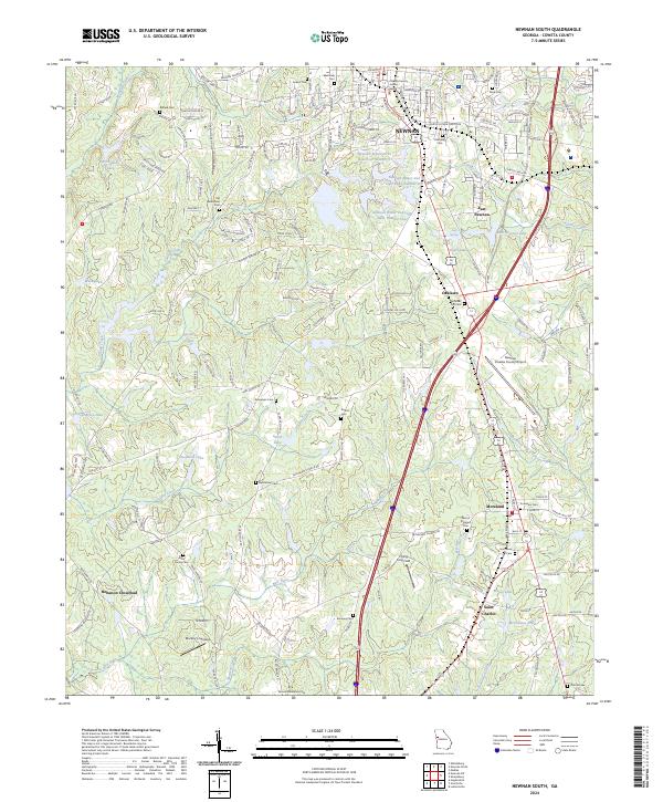
Newnan and its southern surroundings are defined by a complex network of water resources and transportation corridors in this recent survey of Coweta County. The municipal footprint of East Newnan and Oaklawn transitions into a landscape dominated by utility and recreation, including the Newnan Water and Light Lake Number Four and the Newnan Coweta County Airport. The southern reaches of the quadrangle maintain a more rural character, where long-established family and community markers like the Allen Family Cem and Samuel Meadows Cem sit near the winding course of the New River.
Find a feature on this map
56 named features on this map. Tap any name to fly to it.
Don’t see what you’re looking for? This feature index may not catch every label — zoom into the map to look around manually.
Map Details
Editions of this 2024 Newnan South Map
This is the sole edition of this map. No revisions or reprints were ever made.
Historical Maps of Oaklawn Through Time
8 maps found