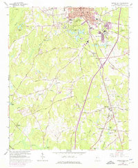
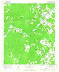
1965 Map of Newnan South
USGS Topo · Published 1974About this map
The rail-driven growth of Newnan and its satellite communities defines this mid-century landscape, where the Central of Georgia and the Atlanta and West Point railroads converge. In the north, the city's infrastructure is visible through the Newnan Waterworks Lakes and the Filtration Plant, while several educational and religious landmarks like Atkinson Sch and Unity Ch serve the local population. Moving south, the terrain transitions into a mosaic of small crossroads and rural centers including Moreland, Saint Charles, and Bohanon Crossroad. The southern section is notably marked by the winding course of the New River and its tributaries like Yellowjacket Cr, which cut through the hills near Suwannee Mountain. Family-named sites and rural institutions, such as Old Bethlehem Ch and Stephens Lake, provide essential data for those tracing the local heritage of Coweta County.
Find a feature on this map
79 named features on this map. Tap any name to fly to it.
Don’t see what you’re looking for? This feature index may not catch every label — zoom into the map to look around manually.
Map Details
Editions of this 1965 Newnan South Map
3 editions found
Other maps of this area

1953 · Atlanta
USGS Topo · 1:250,000

1957 · Atlanta
USGS Topo · 1:250,000

1958 · Atlanta
USGS Topo · 1:250,000

1964 · Hogansville
USGS Topo · 1:24,000

1964 · Grantville
USGS Topo · 1:24,000

1965 · Newnan South
USGS Topo · 1:24,000
1965 · Newnan North
USGS Topo · 1:24,000
1965 · Newnan SW
USGS Topo · 1:24,000
1965 · Whitesburg
USGS Topo · 1:24,000

1965 · Madras
USGS Topo · 1:24,000