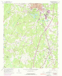
1965 Map of Newnan South
USGS Topo · Published 1974About this map
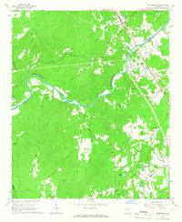
Newnan serves as the focal point for this mid-1960s study, displaying a transition from its urban center to the surrounding agricultural and industrial landscapes of Coweta County. The southern expansion of the city is marked by civic and educational landmarks, including Atkinson Sch and the Central High Sch. The region's transport network is defined by the Central Of Georgia and the Atlanta And West Point railroads, which facilitated local trade and connected smaller outlying communities like Moreland and East Newnan.
Find a feature on this map
104 named features on this map. Tap any name to fly to it.
Don’t see what you’re looking for? This feature index may not catch every label — zoom into the map to look around manually.
Map Details
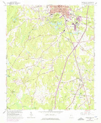
Editions of this 1965 Newnan South Map
3 editions found
Other maps of this area

1953 · Atlanta
USGS Topo · 1:250,000

1957 · Atlanta
USGS Topo · 1:250,000

1958 · Atlanta
USGS Topo · 1:250,000

1964 · Hogansville
USGS Topo · 1:24,000

1964 · Grantville
USGS Topo · 1:24,000

1965 · Newnan South
USGS Topo · 1:24,000
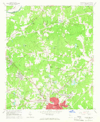
1965 · Newnan North
USGS Topo · 1:24,000
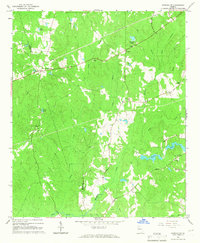
1965 · Newnan SW
USGS Topo · 1:24,000
1965 · Whitesburg
USGS Topo · 1:24,000

1965 · Madras
USGS Topo · 1:24,000