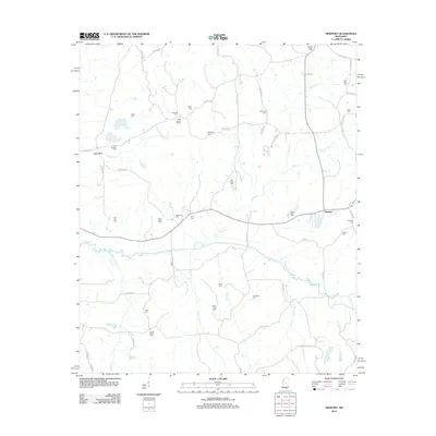
2012 Map of Newport
USGS Topo · Published 2012About this map
Seneasha Cr and Roby Cr weave through a landscape defined by generational family and community burial grounds in this part of Attala County. The area surrounding Newport is exceptionally dense with small cemeteries, including Spring Ridge Cem, Wyse Cem, and Pole Pen Cem, reflecting a long history of rural settlement and local congregation. The land is drained by a network of waterways like Horton Cr and Crooked Cr, while the Sallis Lookout Tower stands as a prominent man-made landmark near Pisgah Cem.
Find a feature on this map
61 named features on this map. Tap any name to fly to it.
Don’t see what you’re looking for? This feature index may not catch every label — zoom into the map to look around manually.
Map Details
Editions of this 2012 Newport Map
This is the sole edition of this map. No revisions or reprints were ever made.
Other maps of this area

1953 · Meridian
USGS Topo · 1:250,000

1953 · West Point
USGS Topo · 1:250,000

1957 · Meridian
USGS Topo · 1:250,000

1958 · West Point
USGS Topo · 1:250,000
1962 · Thomastown
USGS Topo · 1:62,500

1963 · West Point
USGS Topo · 1:250,000
1964 · Camden
USGS Topo · 1:24,000
1964 · Newport
USGS Topo · 1:24,000
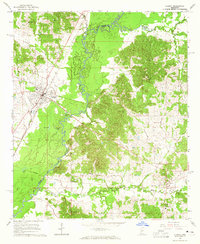
1964 · Durant
USGS Topo · 1:24,000
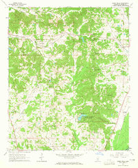
1964 · Owens Wells
USGS Topo · 1:24,000