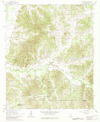
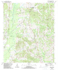
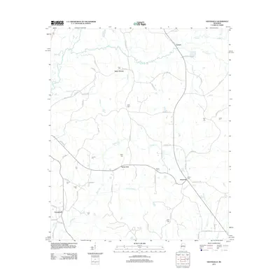
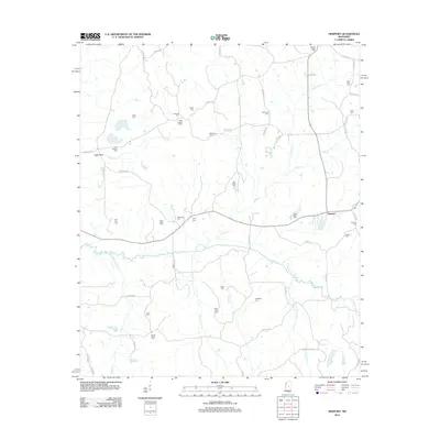
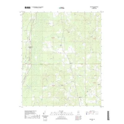
1964 Map of Newport
USGS Topo · Published 1982About this map
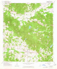
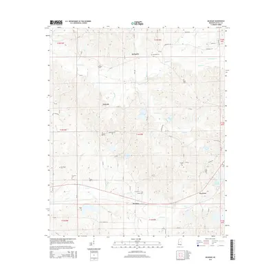
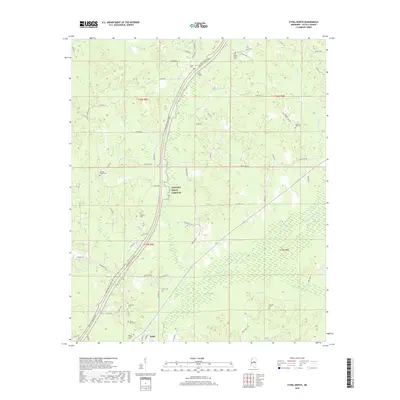
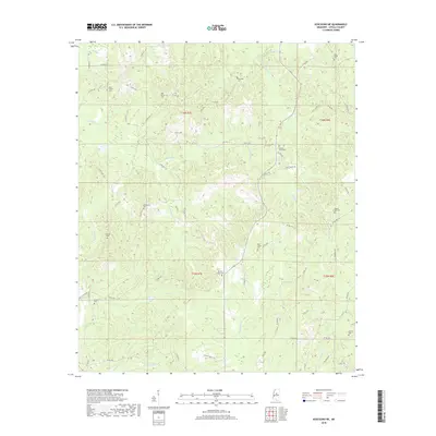
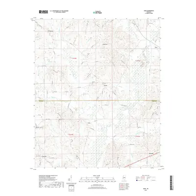
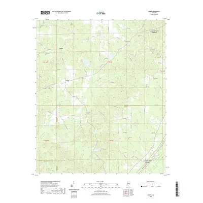
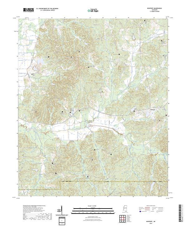
Newport sits at the center of this rural landscape spanning the Attala Co Madison Co border. The topography is defined by the winding paths of Seneasha Creek and Horton Creek, which drain a network of family-named ridges and hollows. This area is heavily marked by its local heritage, featuring numerous country churches and burial grounds such as Spring Ridge Cem, St Mark Ch, and Wyse Cem. A notable industrial trace is the Old Railroad Grade cutting through the eastern portion of the sheet, providing a record of former transportation routes before the modern Pipeline and state routes were established. The presence of a Lookout Tower near Pisgah Cem highlights the area's timber-reliant character, while agricultural engineering is evident in the Unger Ditch to the west.
Find a feature on this map
39 named features on this map. Tap any name to fly to it.
Don’t see what you’re looking for? This feature index may not catch every label — zoom into the map to look around manually.
Map Details
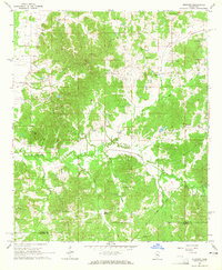
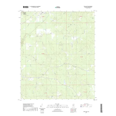
Editions of this 1964 Newport Map
2 editions found
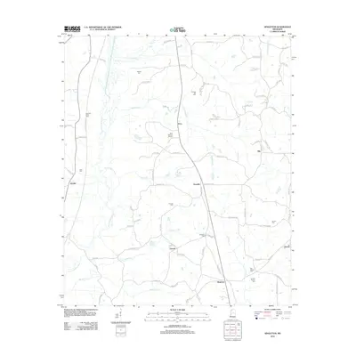
Historical Maps of Newport Through Time
54 maps found
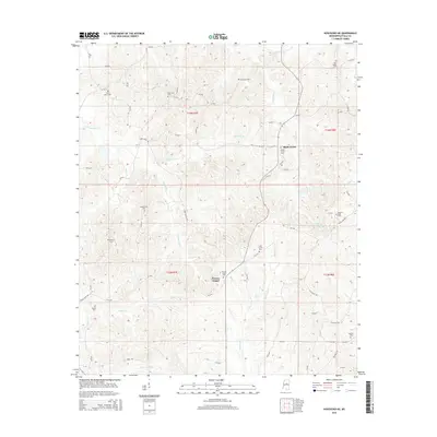
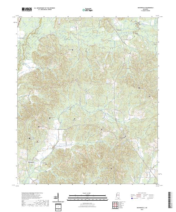
1964 Hesterville
Attala County, MS
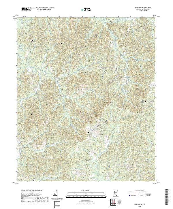
1964 Kosciusko NE
Attala County, MS
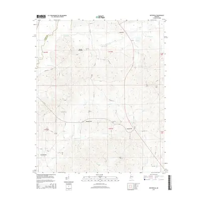
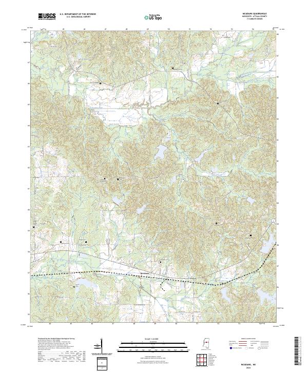
1964 McAdams
Attala County, MS
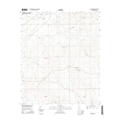
1964 Newport
Attala County, MS
1972 Ethel North
Attala County, MS
1972 Ethel South
Attala County, MS
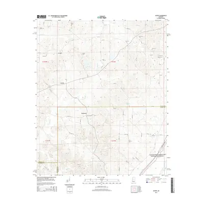
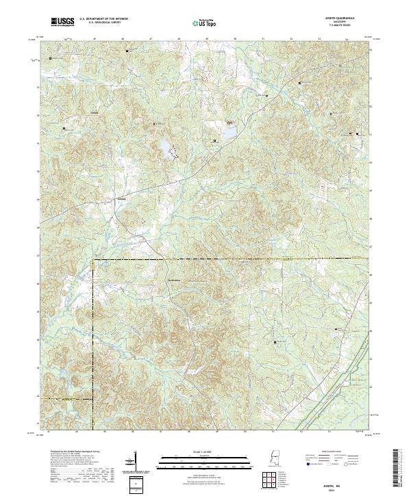
1989 Joseph
Attala County, MS
1989 Singleton
Attala County, MS
1989 Zama
Attala County, MS
2012 Ethel North
Attala County, MS
2012 Ethel South
Attala County, MS
2012 Hesterville
Attala County, MS
2012 Joseph
Attala County, MS
2012 Kosciusko NE
Attala County, MS
2012 McAdams
Attala County, MS
2012 Newport
Attala County, MS
2012 Singleton
Attala County, MS
2012 Zama
Attala County, MS
2015 Ethel North
Attala County, MS
2015 Ethel South
Attala County, MS
2015 Hesterville
Attala County, MS
2015 Joseph
Attala County, MS
2015 Kosciusko NE
Attala County, MS
2015 McAdams
Attala County, MS
2015 Newport
Attala County, MS
2015 Singleton
Attala County, MS
2015 Zama
Attala County, MS
2018 Ethel North
Attala County, MS
2018 Ethel South
Attala County, MS
2018 Hesterville
Attala County, MS
2018 Joseph
Attala County, MS
2018 Kosciusko NE
Attala County, MS
2018 McAdams
Attala County, MS
2018 Newport
Attala County, MS
2018 Singleton
Attala County, MS
2018 Zama
Attala County, MS
2020 Ethel North
Attala County, MS
2020 Ethel South
Attala County, MS
2020 Hesterville
Attala County, MS
2020 Joseph
Attala County, MS
2020 Kosciusko NE
Attala County, MS
2020 McAdams
Attala County, MS
2020 Newport
Attala County, MS
2020 Singleton
Attala County, MS
2020 Zama
Attala County, MS
2024 Ethel North
Attala County, MS
2024 Ethel South
Attala County, MS
2024 Hesterville
Attala County, MS
2024 Joseph
Attala County, MS
2024 Kosciusko NE
Attala County, MS
2024 McAdams
Attala County, MS
2024 Newport
Attala County, MS
2024 Singleton
Attala County, MS
2024 Zama
Attala County, MS