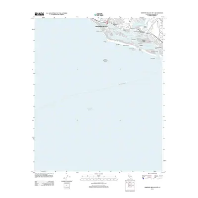
2012 Map of Newport Beach OE S
USGS Topo · Published 2012About this map
Newport Beach and its complex harbor system dominate this coastal study, showing the modern layout of man-made islands and channels that define this California destination. The map highlights the intricate geography of Newport Bay, where Lido Isle, Balboa Island, and Linda Isle are connected by specialized waterways like the Grand Canal and Lido Isle Reach. This 2012 survey captures the area's maritime dependency, marking the Balboa Ferry and the Avalon Newport Beach Ferry routes alongside iconic recreational landmarks like the Newport Pier and Balboa Pier. To the south, the terrain transitions into the steep coastal bluffs of Corona Del Mar and the famous surf break at The Wedge, situated near the Entrance Channel. From the sheltered waters of Beacon Bay to the depths of the Newport Submarine Canyon offshore, the map provides a precise look at the residential and nautical infrastructure of the Orange County coast.
Find a feature on this map
37 named features on this map. Tap any name to fly to it.
Don’t see what you’re looking for? This feature index may not catch every label — zoom into the map to look around manually.
Map Details
Editions of this 2012 Newport Beach OE S Map
This is the sole edition of this map. No revisions or reprints were ever made.
Other maps of this area

1896 · Santa Ana
USGS Topo · 1:62,500

1896 · Las Bolsas
USGS Topo · 1:62,500

1901 · Southern California Sheet No. 1
USGS Topo · 1:250,000

1901 · Santa Ana
USGS Topo · 1:62,500

1902 · Capistrano
USGS Topo · 1:125,000

1902 · Corona
USGS Topo · 1:125,000

1904 · Southern California Sheet No. 1
USGS Topo · 1:250,000

1906 · Capistrano
USGS Topo · 1:125,000

1932 · Newport Beach
USGS Topo · 1:31,680

1932 · Tustin
USGS Topo · 1:31,680
Featured Places
- Huntington Beach, CA
- Newport Beach, CA
- Newport Heights, Newport Beach
- Harbor Island, Newport Beach
- Irvine Terrace, Newport Beach